Port Royal Walking Trails
Walking Trails at Port Royal
Port Royal State Historic Park has three short walking paths throughout the park.
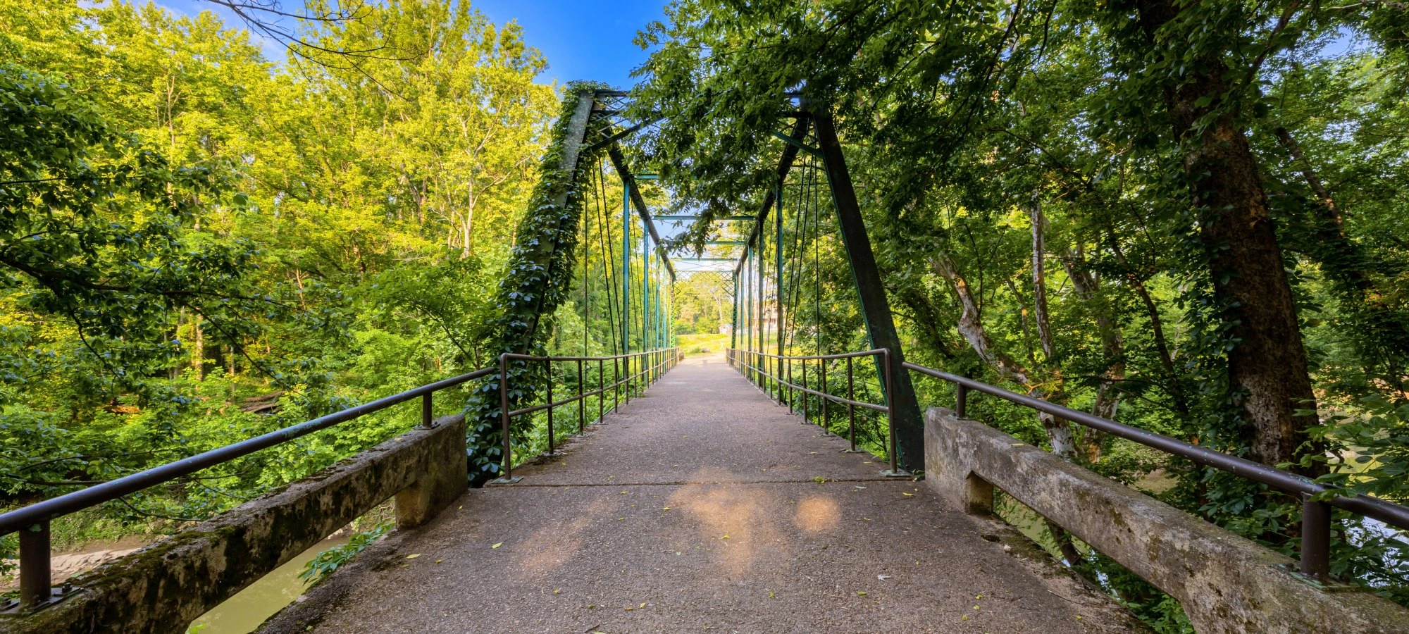
Beginning at the General Store and Visitor Center, Old Main Street travels through the old townsite of Port Royal. As you travel, view the archaeological remains of the town and end at Sulphur Fork Creek, where the 1890 Iron Bridge still stands. On your way back, take Hopson Spring Branch for a scenic detour around Historic Downtown.
The Hopson Spring Branch trail begins at the Historic Main Street in downtown Port Royal and follows along the Sulphur Fork Creek and the Hopson Spring Branch. This trail is located in a river bottom and will flood during heavy rain.
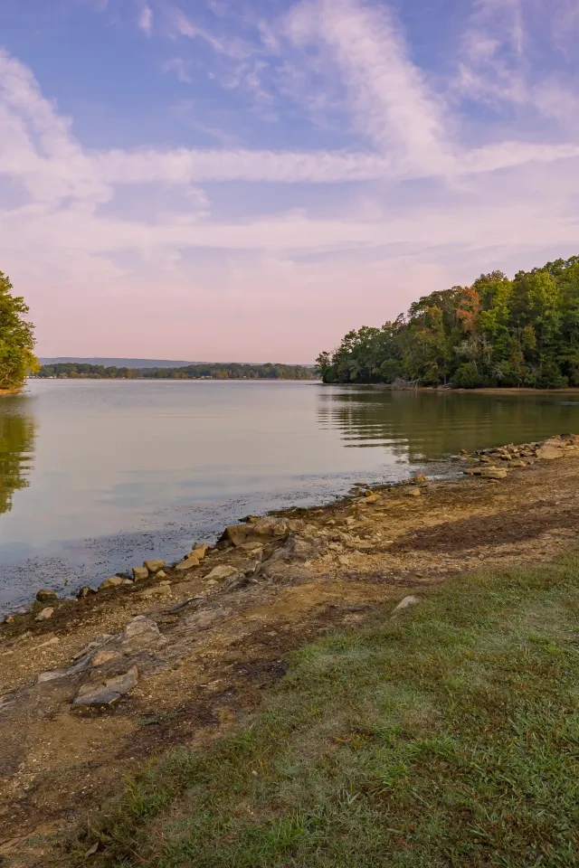
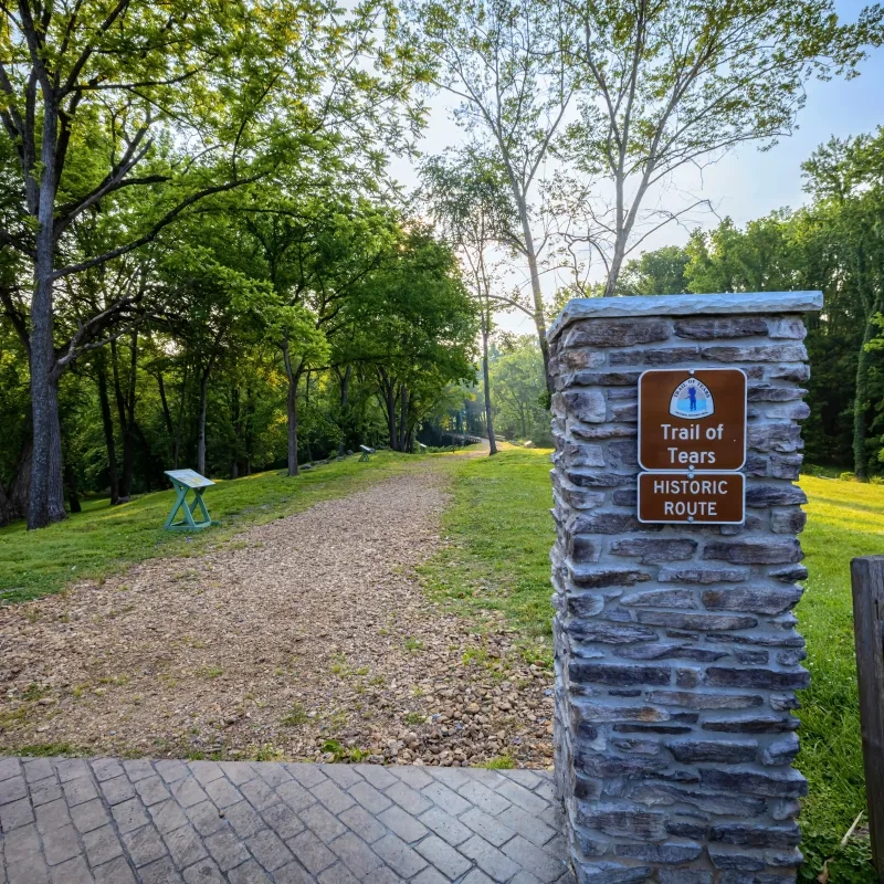
A portion of the Trail of Tears lies within our park, commemorating the survival of the Cherokee people. This short, preserved piece of history leads to a scenic view of the Red River.
Trails
Trail Definitions
No events are scheduled at this time, but there's always more to explore.