North Chickamauga Creek Gorge Paddling
Warning Alert
Closures Due To Improvement Project
Important alert for all visitors:
Beginning March 23, 2026 and lasting for approximately one year, improvements will be made to create a safer, more accessible experience for visitors. This includes paving the parking area, improving the park entrance, adding an ADA-accessible river viewing pier, and installing a restroom.
During this time, the following areas will be closed and inaccessible:
- Montlake Road Entrance and the Main Trailhead
- Blue Hole Trail & Blue Hole Access
- Hogskin Loop Trail
- Stripmine Falls
- Cumberland Trail from the Main Trailhead to Boston Branch Overlook
Learn more and view the map of the closed area on our safety information page.
Know Before You Go
The park often experiences high visitation. Please do not park on roadsides or in non-designated areas. If the park is full, please consider visiting another state park in the area.
Access to all areas along the creek may close due to inclement weather and/or rising waters. A four-point, color-coded rating system is used to determine the closing of creek access areas. Rangers and staff may close areas with little to no notice to park visitors. Learn more on our safety information page.
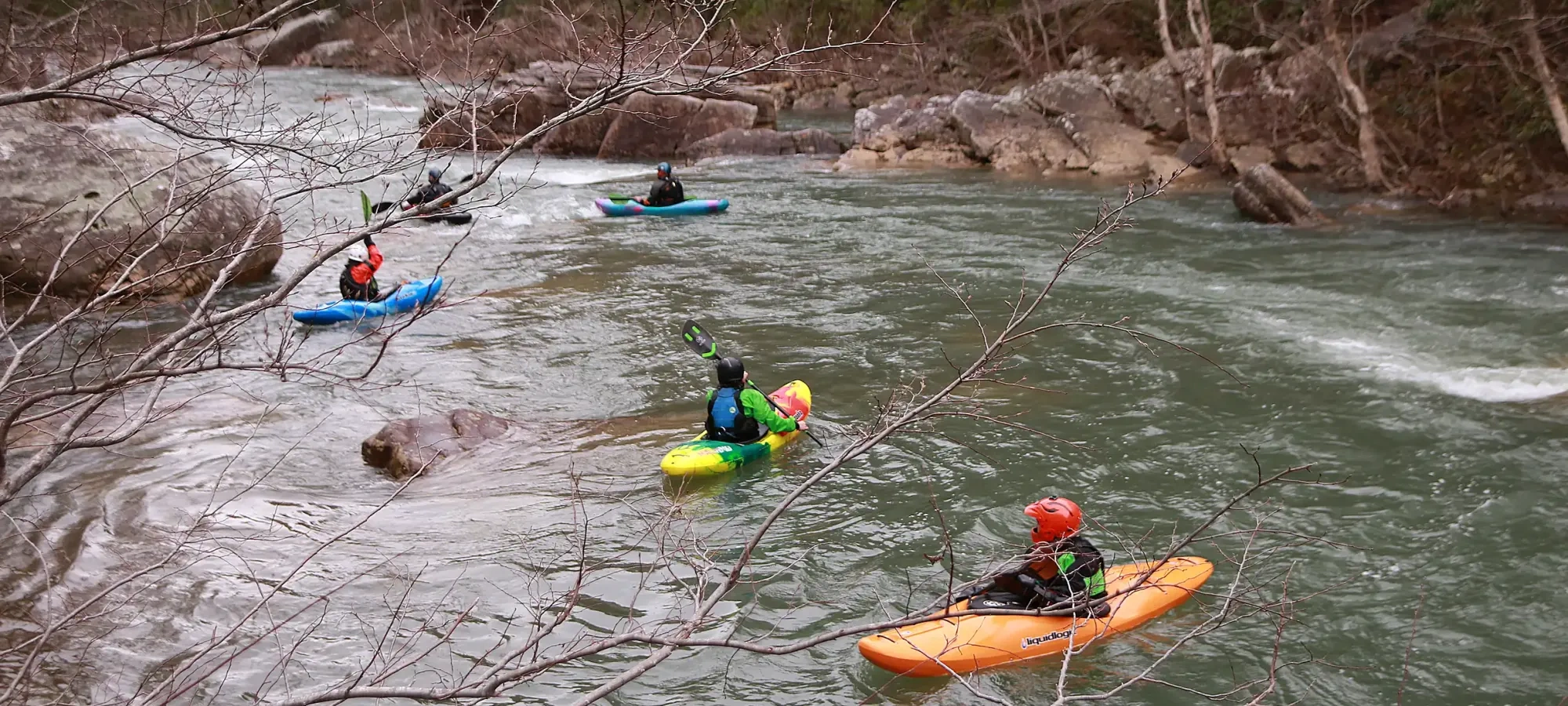
Paddling at North Chickamauga Creek Gorge
Whitewater kayaking and canoeing are popular activities at North Chickamauga Creek Gorge State Park.
Visitors commonly take two paddling routes at North Chickamauga Creek Gorge State Park: paddling a path locally known as the Bowling Alley or paddling the full North Chickamauga Creek.
The Bowling Alley
Visitors will commonly put in at the creek crossing on the Blue Hole Trail and take out about .3 miles downstream.
North Chickamauga Creek
For those looking for a longer paddle, visitors will use the Barker Pounds Trail and hike into Cain Creek to put in, taking out when they reach the park boundary.

Bring Your Own Paddle Craft
All areas require visitors to bring their own paddlecraft and typically require visitors to have a higher experience with paddling as water levels are known to rise rapidly in heavy rain.
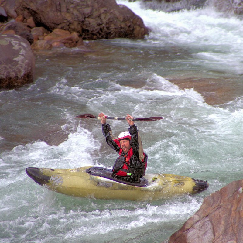
Be Safe!
The water in the area has the potential to reach Class V rapids.
Visitors should have a higher level of experience when paddling at the park. Those paddling the full gorge should be more advanced as these waters are technical rapids and must be taken very seriously.
Rapidly changing water levels limits the amount of access visitors have to different areas in the park. The park has installed a water level flag system to indicate the current conditions and amount of access.
The image to the right shows an example of the color-coded flag system. These signs are posted at the start of each trailhead and creek crossing.

Discover More at North Chickamauga Creek Gorge


No events are scheduled at this time, but there's always more to explore.


