North Chickamauga Creek Gorge Hiking
Warning Alert
Closures Due To Improvement Project
Important alert for all visitors:
Beginning March 23, 2026 and lasting for approximately one year, improvements will be made to create a safer, more accessible experience for visitors. This includes paving the parking area, improving the park entrance, adding an ADA-accessible river viewing pier, and installing a restroom.
During this time, the following areas will be closed and inaccessible:
- Montlake Road Entrance and the Main Trailhead
- Blue Hole Trail & Blue Hole Access
- Hogskin Loop Trail
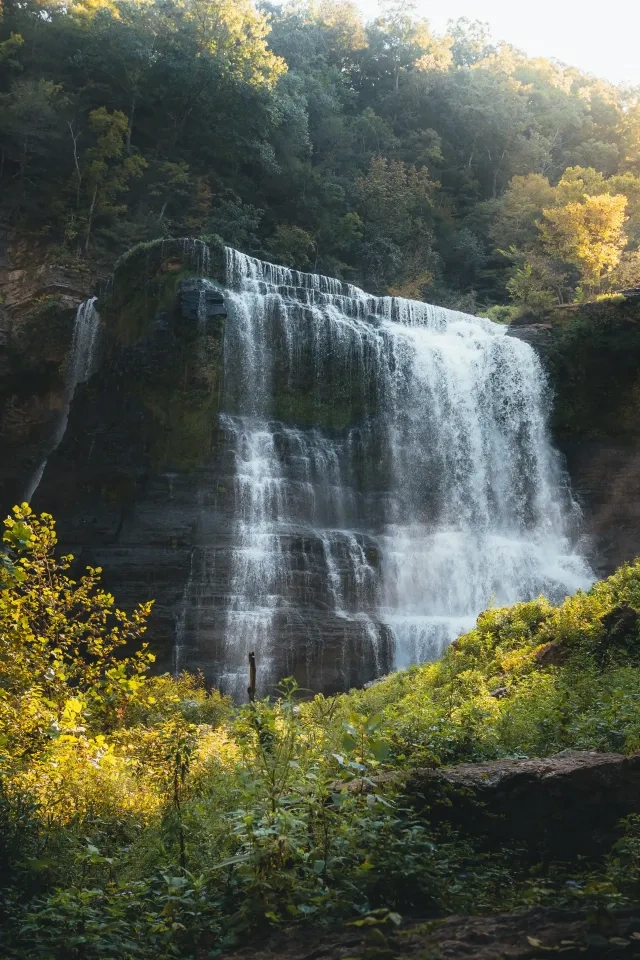
- Stripmine Falls
- Cumberland Trail from the Main Trailhead to Boston Branch Overlook
Learn more and view the map of the closed area on our safety information page.
Know Before You Go
The park often experiences high visitation. Please do not park on roadsides or in non-designated areas. If the park is full, please consider visiting another state park in the area.
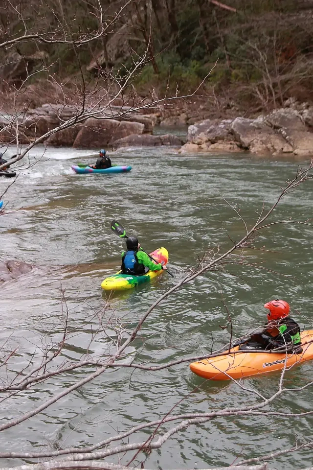
Access to all areas along the creek may close due to inclement weather and/or rising waters. A four-point, color-coded rating system is used to determine the closing of creek access areas. Rangers and staff may close areas with little to no notice to park visitors. Learn more on our safety information page.
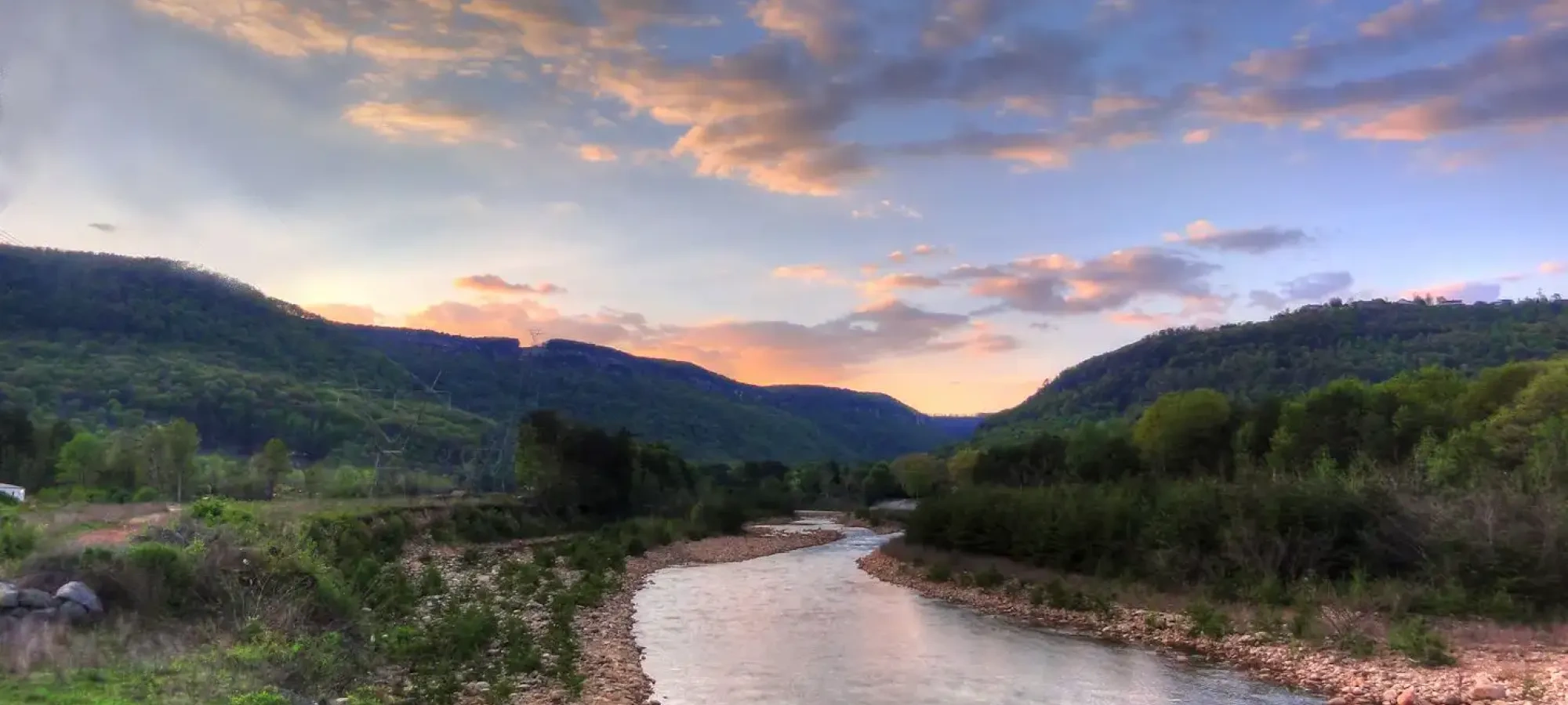
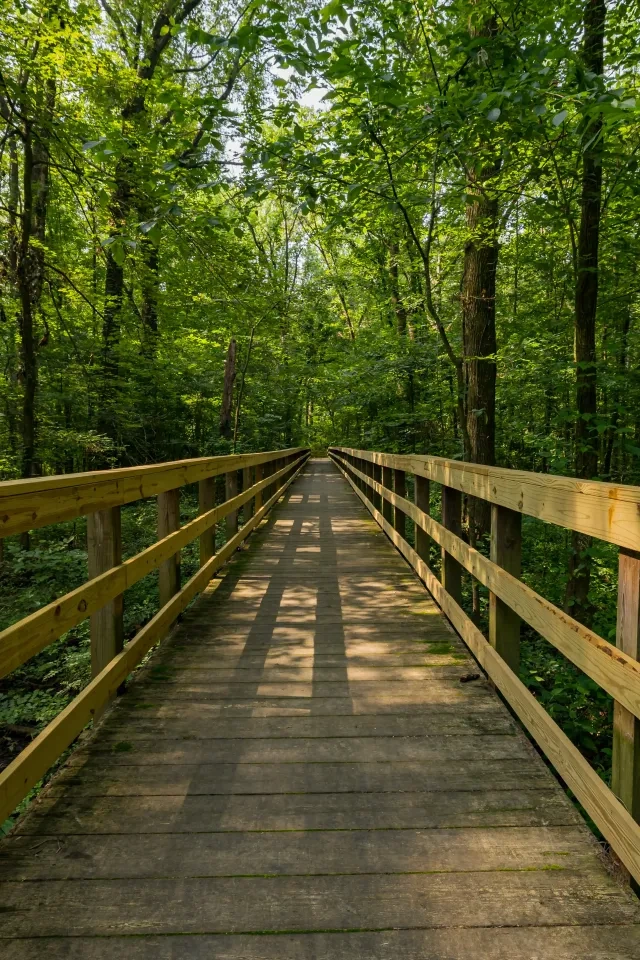
Hiking at North Chickamauga Creek Gorge
Closely connected to the Cumberland Trail, the park has four different sections of trails ranging from 1.4 miles to over 16 miles.
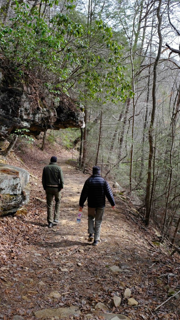
The trails are considered strenuous with rocky terrains and steep inclines.
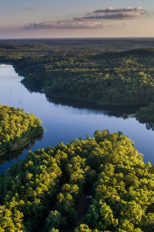
North Chickamauga Creek Gorge is considered a rugged natural area, and recreational activities within the park are inherently dangerous. It is necessary to traverse uneven, natural trail surfaces to access some areas of the park.
Trails throughout the park are a combination of dirt, rock, boulders, and other obstacles and may require water crossings. Trails into the gorge are steep with significant elevation changes. Water crossings can be dangerous due to high water, and trails may be closed for safety. Ascending and descending wooden and stone stairs is necessary to access the backcountry areas of the park.
Trails
Skip to trail navigationTrail Definitions
Discover More at North Chickamauga Creek Gorge


No events are scheduled at this time, but there's always more to explore.