Red Clay Hiking

  • Forest trail winding through lush green trees on a sunny day.
  • Wooden bridge winding through a lush, green forest.

    Hiking at Red Clay

    Behind the Picnic Pavilion is an entrance to a 1.7-mile loop trail that goes to the Overlook Tower.

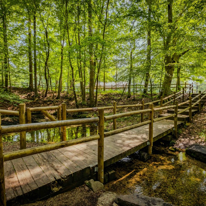
    The trail is a moderate grade and is well marked. A short nature trail begins at the spring and ends at the farmstead. 

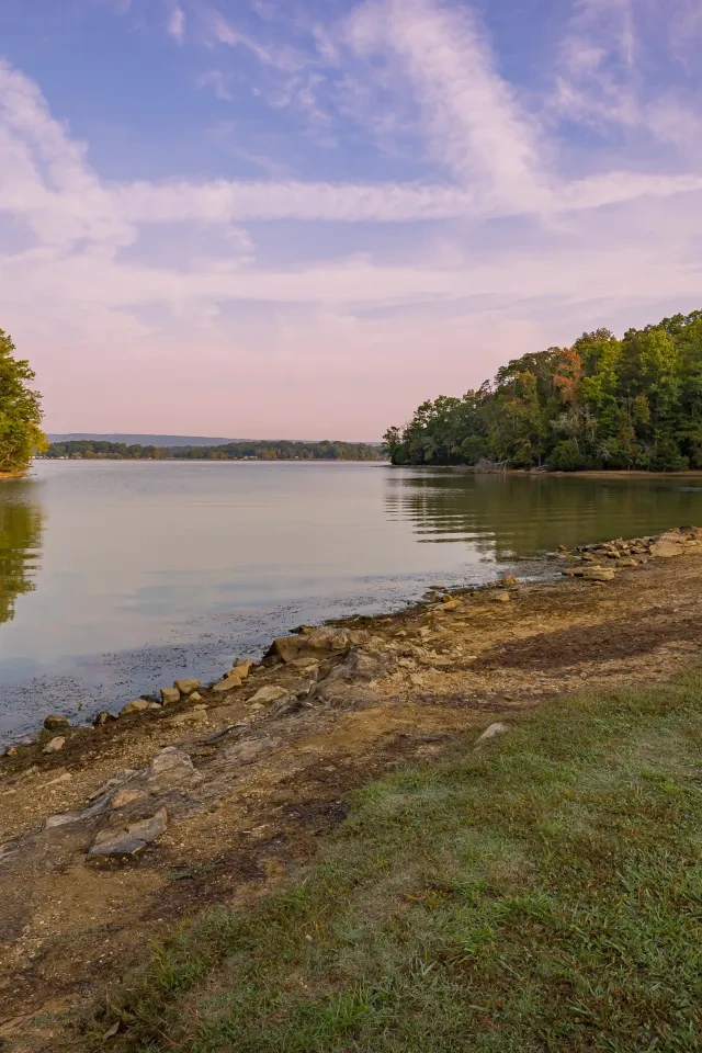
    The Blue Hole Trail is a short nature trail that begins at Blue Hole Spring and ends at the farmstead. This glittering spring is a sacred site for many Cherokees and serves as a natural landmark for the council grounds. The clear blue waters provided drinking water for each meeting.  

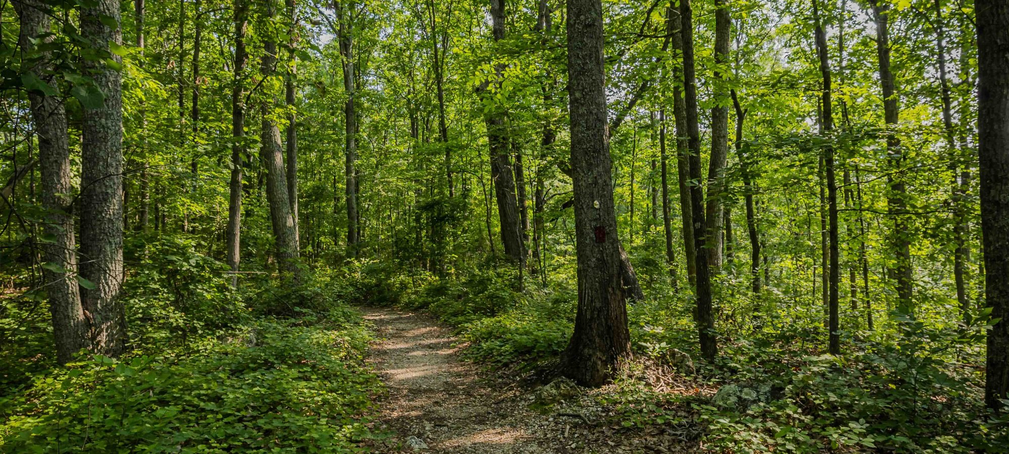
    The Connector Trail winds through a wooded, swampy area and connects to the Council of Trees Trail. During your trek, look for the old roadbed that used to be the original road through the park. Once you reach the Council of Trees trail, expect moderate grades as you head down the trail to the Overlook Tower.

    Trails

    Showing page 1 of 1
    • Blue Hole Trail

      Red Clay State Park
      Distance
      0.20 mi.
      Difficulty
      Difficult
      Surface
      Natural
      Trail conditions may have changed since 07/2024 when this trail was assessed. Maximum grades and cross slopes may vary. Obstructions less than 2 in (5.1 cm) or outside of the tread area 48 in (121.9 cm) wide by 80 in (203.2 cm) high were not reported. Minimum clearance width boundaries were at least 6 in (15.2 cm) high.
      Availability
      Open
      Allowed
      Hiking

      Blue Hole Trail

      Red Clay State Park
      Trail conditions may have changed since 07/2024 when this trail was assessed. Maximum grades and cross slopes may vary. Obstructions less than 2 in (5.1 cm) or outside of the tread area 48 in (121.9 cm) wide by 80 in (203.2 cm) high were not reported. Minimum clearance width boundaries were at least 6 in (15.2 cm) high.
      Distance
      0.20 mi.
      Difficulty
      Difficult
      Surface
      Natural
      Allowed
      Hiking

      Trail Type
      Information unavailable

      Elevation
      Gain 13.40'
      Loss 15.10'
      Grade
      Typical 2.9%
      Max 15.0%
      Cross Slope
      Typical 2.4%
      Max 20.9%
      Tread Width
      Typical 37"
      Minimum 24"
      Surface Type
      Soil 86.3%; Soil 13.7%
      Obstructions Exist
      Tree root: 3 in tall; Tree roots: 3 in tall; Tree root: 3 in tall

      Connector Trail

      Red Clay State Park
      Distance
      0.15 mi.
      Difficulty
      Difficult
      Surface
      Natural
      Warning: Trail conditions may have changed since 07/2024 when this trail was assessed. Maximum grades and cross slopes may vary. Obstructions less than 2 in (5.1 cm) or outside of the tread area 48 in (121.9 cm) wide by 80 in (203.2 cm) high were not reported. Minimum clearance width boundaries were at least 6 in (15.2 cm) high.
      Availability
      Open
      Allowed
      Hiking

      Connector Trail

      Red Clay State Park
      Warning: Trail conditions may have changed since 07/2024 when this trail was assessed. Maximum grades and cross slopes may vary. Obstructions less than 2 in (5.1 cm) or outside of the tread area 48 in (121.9 cm) wide by 80 in (203.2 cm) high were not reported. Minimum clearance width boundaries were at least 6 in (15.2 cm) high.
      Distance
      0.15 mi.
      Difficulty
      Difficult
      Surface
      Natural
      Allowed
      Hiking

      Trail Type
      Information unavailable

      Elevation
      Gain 48.70'
      Loss 6.20'
      Grade
      Typical 7.0%
      Max 39.4%
      Cross Slope
      Typical 3.1%
      Max 12.0%
      Tread Width
      Typical 37"
      Minimum 36"
      Surface Type
      Soil 74.8%; Wood decking 25.2%
      Obstructions Exist
      Tree roots: 5 in tall; Tree roots: 4 in tall; Tree roots: 4 in tall

      Council of Trees Trail

      Red Clay State Park
      Distance
      1.70 mi.
      Difficulty
      Difficult
      Surface
      Natural
      Warning: Trail conditions may have changed since 07/2024 when this trail was assessed. Maximum grades and cross slopes may vary. Obstructions less than 2 in (5.1 cm) or outside of the tread area, 60 in (152.4 cm) wide by 80 in (203.2 cm) high, were not reported. Minimum clearance width boundaries were at least 6 in (15.2 cm) high.
      Availability
      Open
      Allowed
      Hiking

      Council of Trees Trail

      Red Clay State Park
      Warning: Trail conditions may have changed since 07/2024 when this trail was assessed. Maximum grades and cross slopes may vary. Obstructions less than 2 in (5.1 cm) or outside of the tread area, 60 in (152.4 cm) wide by 80 in (203.2 cm) high, were not reported. Minimum clearance width boundaries were at least 6 in (15.2 cm) high.
      Distance
      1.70 mi.
      Difficulty
      Difficult
      Surface
      Natural
      Allowed
      Hiking

      Trail Type
      Information unavailable

      Elevation
      Gain 242.60'
      Loss 340.50'
      Grade
      Typical 6.9%
      Max 23.6%
      Cross Slope
      Typical 2.5%
      Max 18.1%
      Tread Width
      Typical 35"
      Minimum 12"
      Surface Type
      Gravel 63.3%; Soil 32.3%; Asphalt 3%; Stairs 1.2%; Wood decking 0.2%
      Obstructions Exist
      Stairs: 11 in tall; Rocks: 9 in tall; Large rock: 7 in tall

      Interpretive Trail

      Red Clay State Park
      Distance
      0.60 mi.
      Difficulty
      Difficult
      Surface
      Paved
      Warning: Trail conditions may have changed since 07/2024 when this trail was assessed. Maximum grades and cross slopes may vary. Obstructions less than 2 in (5.1 cm) or outside of the tread area 84 in (213.4 cm) wide by 80 in (203.2 cm) high were not reported. Minimum clearance width boundaries were at least 6 in (15.2 cm) high.
      Availability
      Open
      Allowed
      Hiking wheelchair

      Interpretive Trail

      Red Clay State Park
      Warning: Trail conditions may have changed since 07/2024 when this trail was assessed. Maximum grades and cross slopes may vary. Obstructions less than 2 in (5.1 cm) or outside of the tread area 84 in (213.4 cm) wide by 80 in (203.2 cm) high were not reported. Minimum clearance width boundaries were at least 6 in (15.2 cm) high.
      Distance
      0.60 mi.
      Difficulty
      Difficult
      Surface
      Paved
      Allowed
      Hiking wheelchair

      Trail Type
      Information unavailable

      Elevation
      Gain 96.40'
      Loss 36.10'
      Grade
      Typical 4.0%
      Max 18.0%
      Cross Slope
      Typical 3.4%
      Max 16.8%
      Tread Width
      Typical 60"
      Minimum 60"
      Surface Type
      Asphalt 94.4%; Stairs 2.5%; Concrete 2.2%; Wood decking 0.9%
      Obstructions Exist
      Staircase: 9 in tall; Staircase: 8 in tall; Step: 8 in tall

    Trail Definitions

    • Cross Slope 

      Describes the degree of incline from one side of the trail path to the other; measured as a percentage. Cross slope aids in water drainage and impacts the overall trail stability.   

    • Grade  

      Describes the rise in elevation over a horizontal distance on the trail; measured as a percentage.  Higher percentages represent a steeper grade indicating a more challenging ascent or descent for hikers.    

    • Standard Ramp Grade

      Serves as a reference guide for the grade of the trail.  Standard Ramp Grade is 8.3% across all trail assessments.  

    • Surface 

      A characteristic of the trail expressed in terms of material type, grading, compaction, and roughness of the path. Possible surface types include soil, gravel, paved, and mulch.   

    • Tread Width    

      Represents the horizontal distance from one edge of the trail path to the other; measurements can vary.  Tread width helps to determine the amount of space a hiker has to pass through. Obstacles on the trail can alter the remaining tread width.   

    • Trail Types: Loop

      Trail returns at or near the point from which you started. 

    • Trail Types: Network 

      Offers multiple route options within one trail, and each route is connected

    • Trail Types: Out and Back

      This type of trail travels out to an endpoint where hikers turn around and travel back to the starting point.   

    • Trail Types: Stacked Loop

      A loop trail contained completely within another trail.   

    Need a Map?

    Explore our collection of printable and digital trail maps, organized by park. Whether you’re hiking, camping, or paddling, you’ll find the resources you need to navigate confidently.


    Visitor Center Gift Shop

    The Visitor Center Gift Shop is the perfect place to pick up a map, learn about the park, or find a souvenir. You’ll find an assortment of apparel and keepsakes to remember your trip to the park.

    Address:
    1140 Red Clay Park Road Southwest, Cleveland TN, 37311
    1-423-478-0339

    Hours
    Tuesday - Saturday 
    10:00 AM - 4:30 PM

    Sunday - Monday 
    1:00 PM - 4:30 PM

    Skip photo gallery
    Media Crowdriff
    Happenings

    No events are scheduled at this time, but there's always more to explore.

    Find More Events