Head of the Crow Hiking

Hiking at Head of the Crow
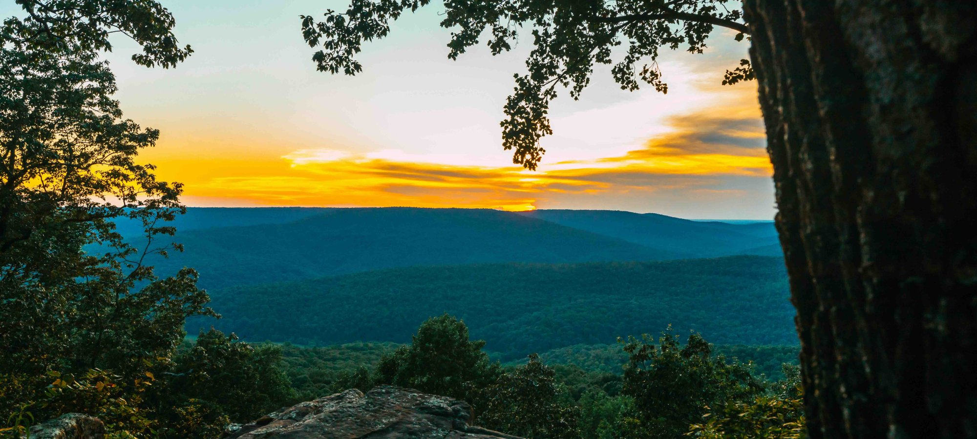
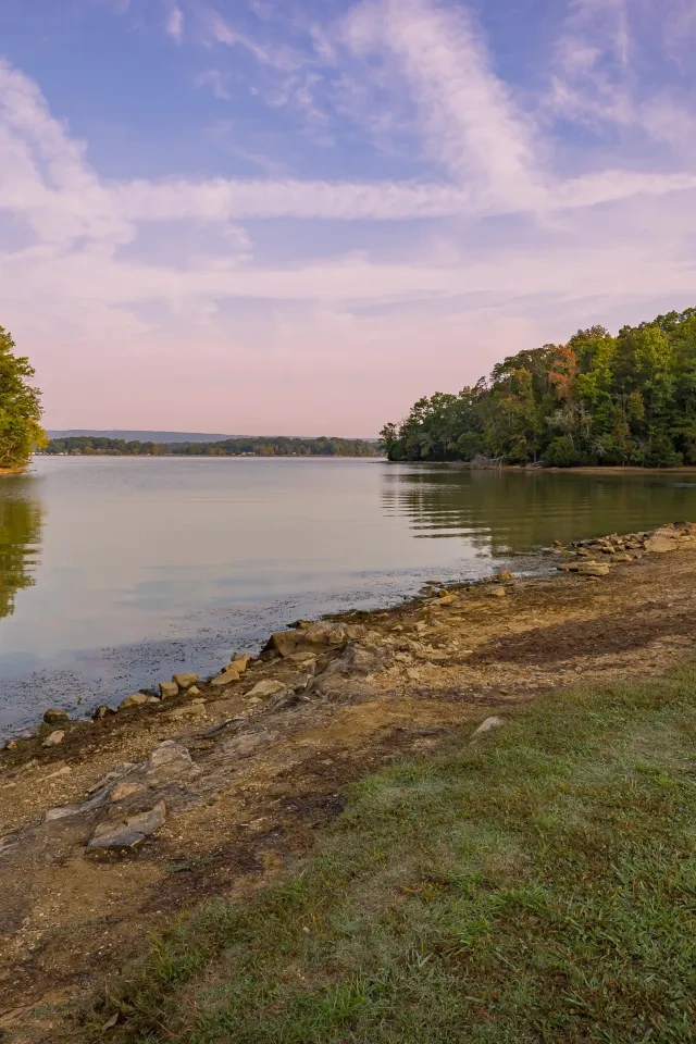
Head of the Crow State Park has multiple trails for both seasoned and beginning hikers to enjoy the park's incredible views.
IMPORTANT: Throughout the trails, hikers should note the significant changes in elevation and prepare with proper equipment, including plenty of water, appropriate shoes, and bug repellent.
Trails
-
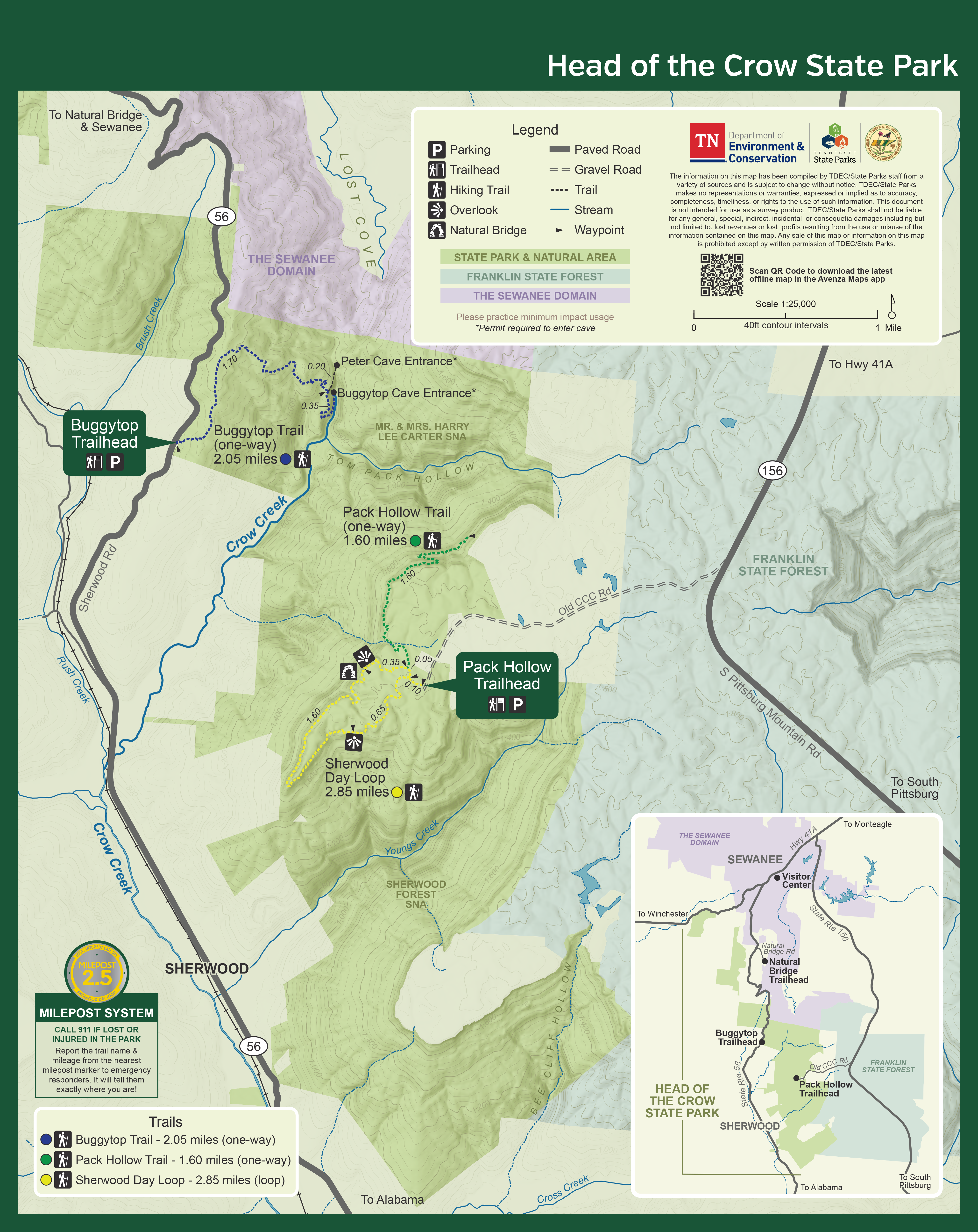
Buggytop Trail
Head of the Crow State ParkAvailabilityDistance2.05 mi.DifficultyDifficultSurfaceNaturalOpenUseHiking -
Natural Bridge Trail
Head of the Crow State ParkDistance0.10 mi.DifficultyEasySurfaceNaturalAvailabilityThis one-acre State Natural Area features a 25-foot high natural sandstone arch with a span of 50-feet that provides a scenic overlook of Lost Cove.OpenUseHiking -
Pack Hollow Trail
Head of the Crow State ParkDistance1.60 mi.DifficultyModerateSurfaceNaturalAvailabilityThis trail has 1.6 miles open to the public. The open segment follows along bluff lines slowly descending into Tom Pack Hollow.OpenUseHiking -
Sherwood Day Loop
Head of the Crow State ParkDistance2.85 mi.DifficultyEasySurfaceNaturalAvailabilityThis trail covers mostly level ground with a few stairs. Along this trail you will pass through a forested ridge along many rock formations. There are several overlooks offering long views of Crow Creek Valley and a natural bridge.OpenUseHiking
Trail Definitions
Happenings


