Savage Gulf Hiking
Notification Alert
Notification
Navigating to the Park
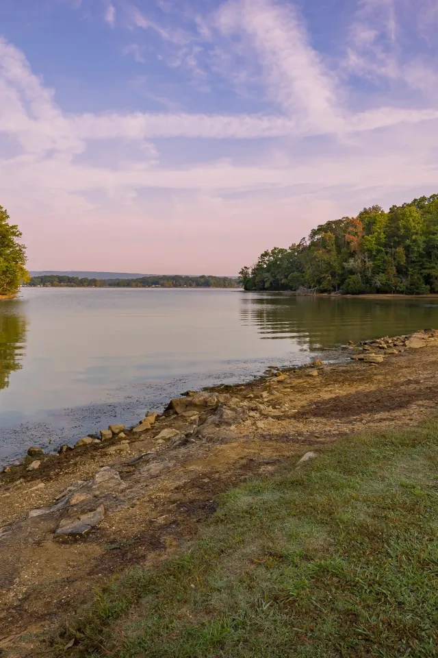
Savage Gulf State Park
Mapping applications are sometimes unreliable for navigating around Savage Gulf State Park. We recommend using the physical addresses provided near the bottom of our homepage to navigate to our different trailheads.
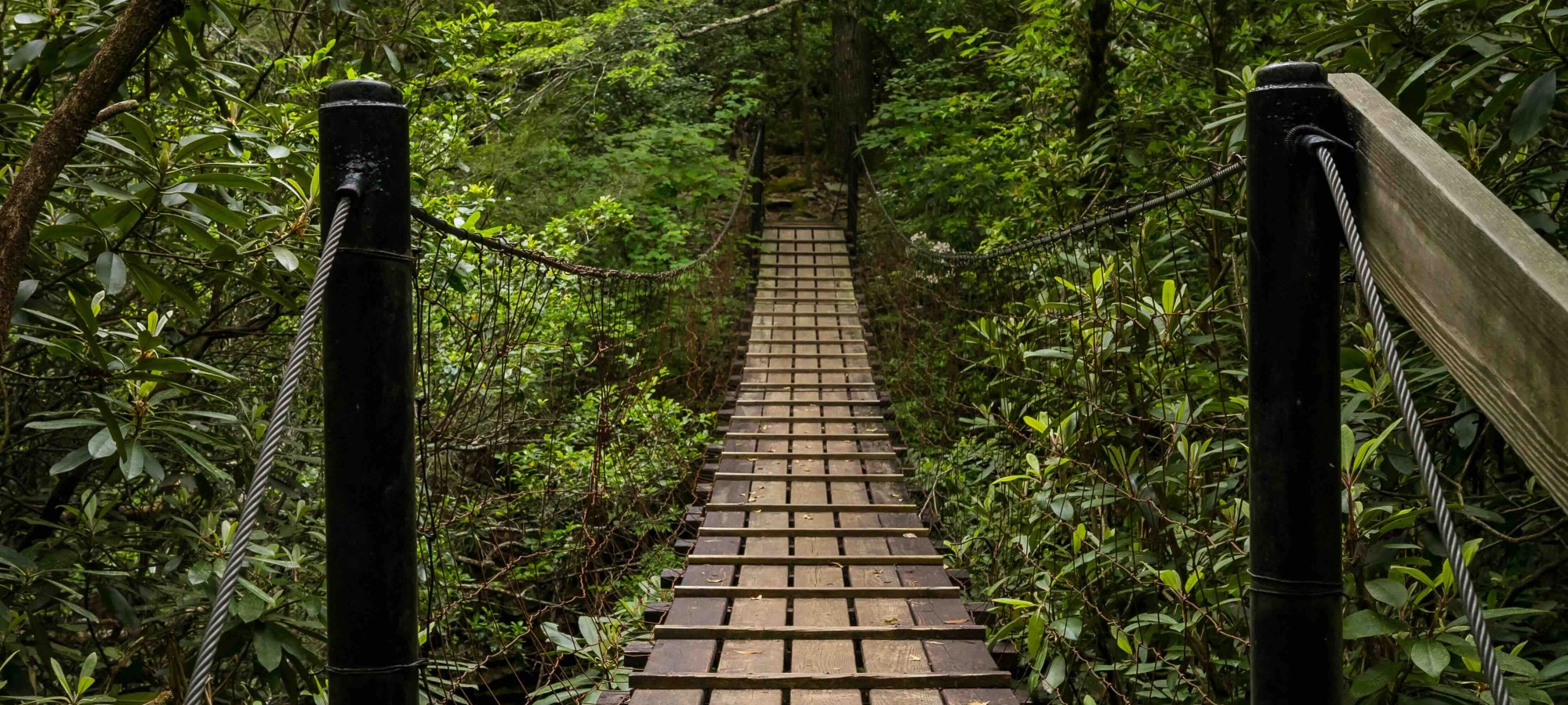
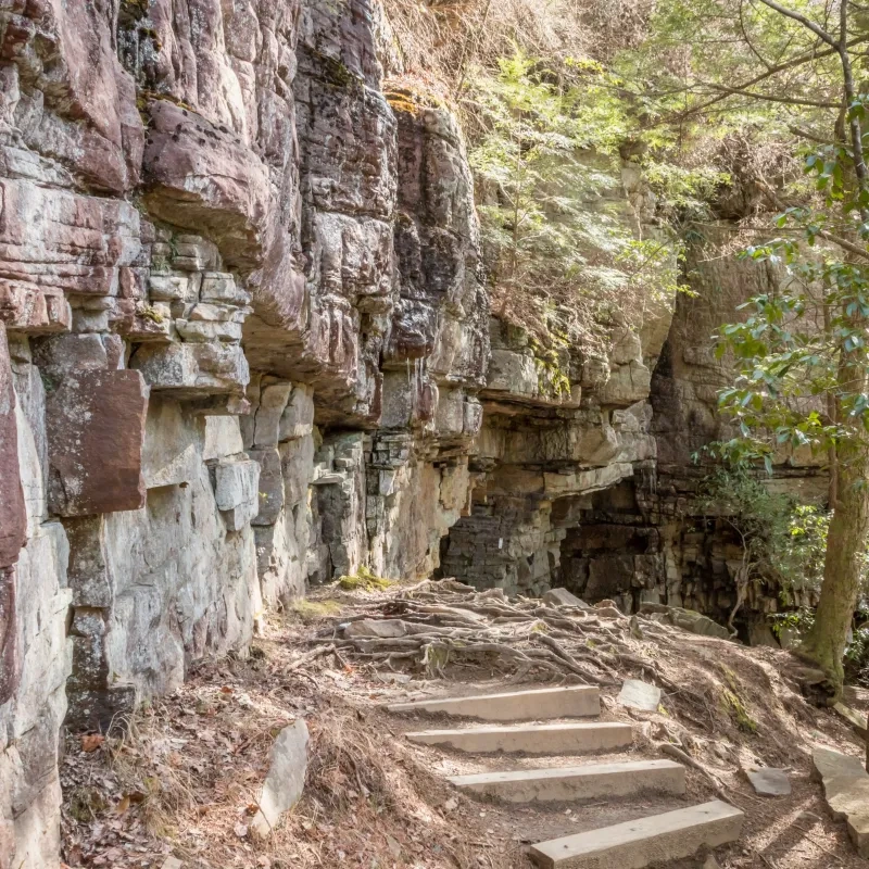
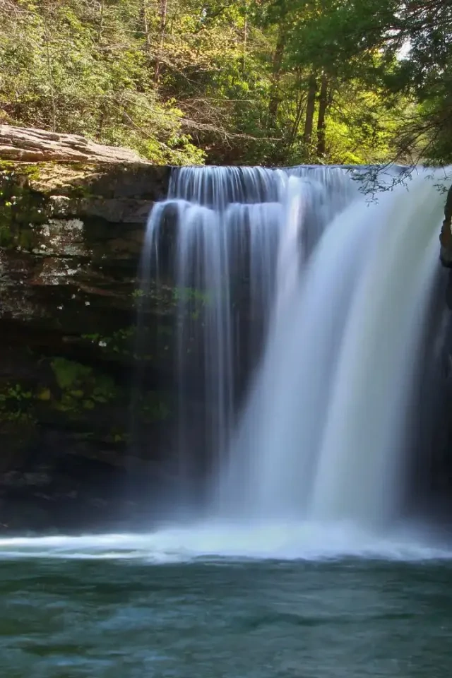
Hiking at Savage Gulf
From peaceful walks through towering forests to breathtaking overlooks of the Cumberland Plateau, Savage Gulf is a wondrous hiking destination with a diverse trail system featuring waterfalls, vistas, historical areas, and old-growth forests.
Trails
Skip to trail navigation
Showing page 1 of 2
Trail Definitions
Discover More at Savage Gulf


Happenings
No events are scheduled at this time, but there's always more to explore.