Bledsoe Creek Hiking
Notification Alert
Notification
Construction in the Park
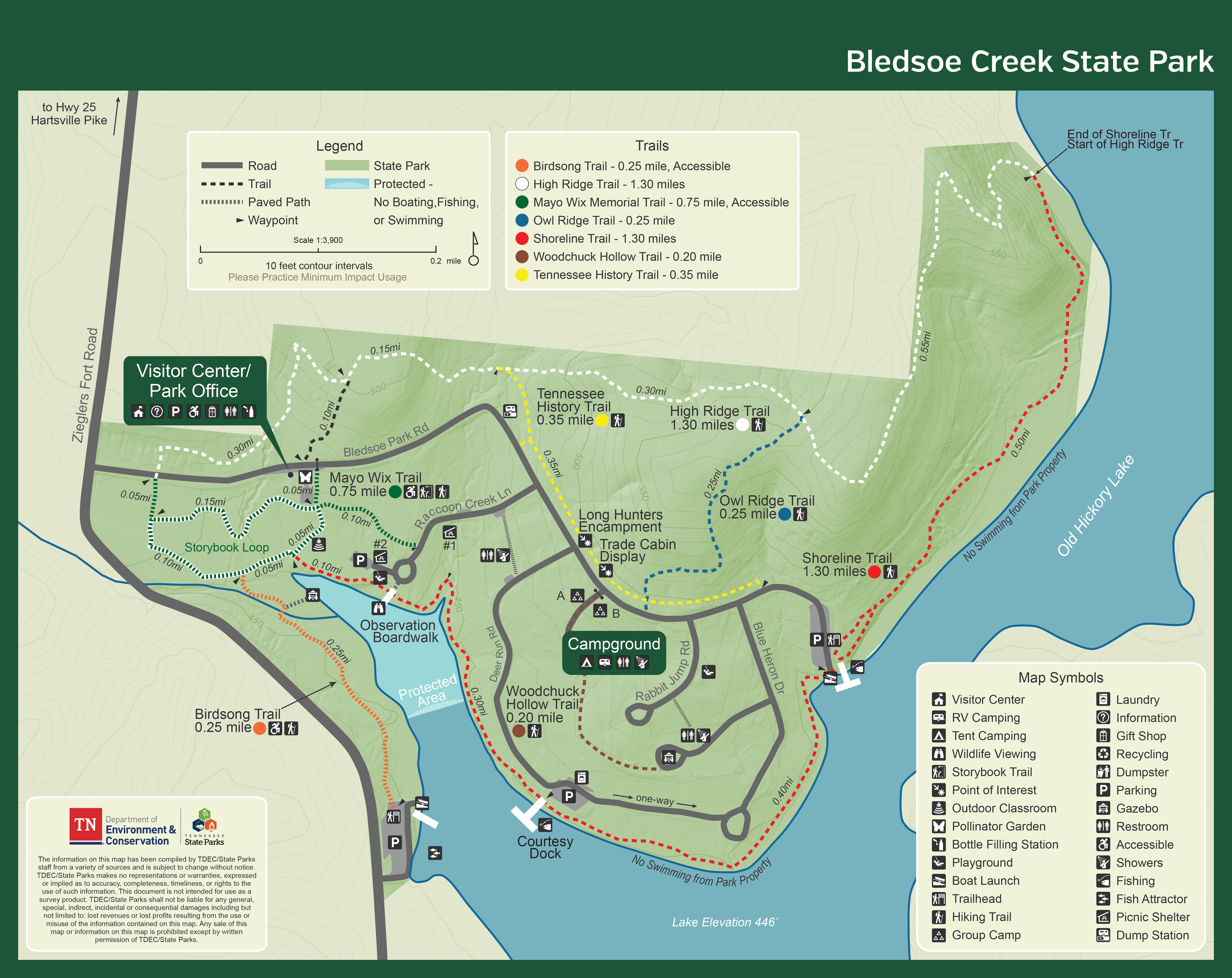
Bledsoe Creek State Park
Due to upgrades within the park, there will be ongoing construction noise from 8am-4pm, Monday-Friday. The estimated completion date for this project is the summer of 2026.
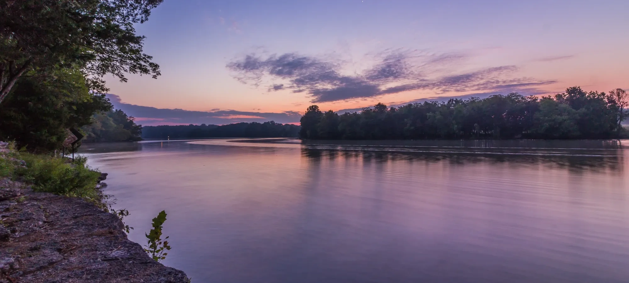
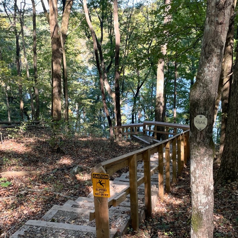
Hiking at Bledsoe Creek
Visit any of the trails of Bledsoe Creek, ranging in difficulty and distance, including Owl Ridge Trail and The Shoreline Trail.
Trails
Skip to trail navigation
Showing page 1 of 1
Trail Definitions
Discover More at Bledsoe Creek


Happenings


