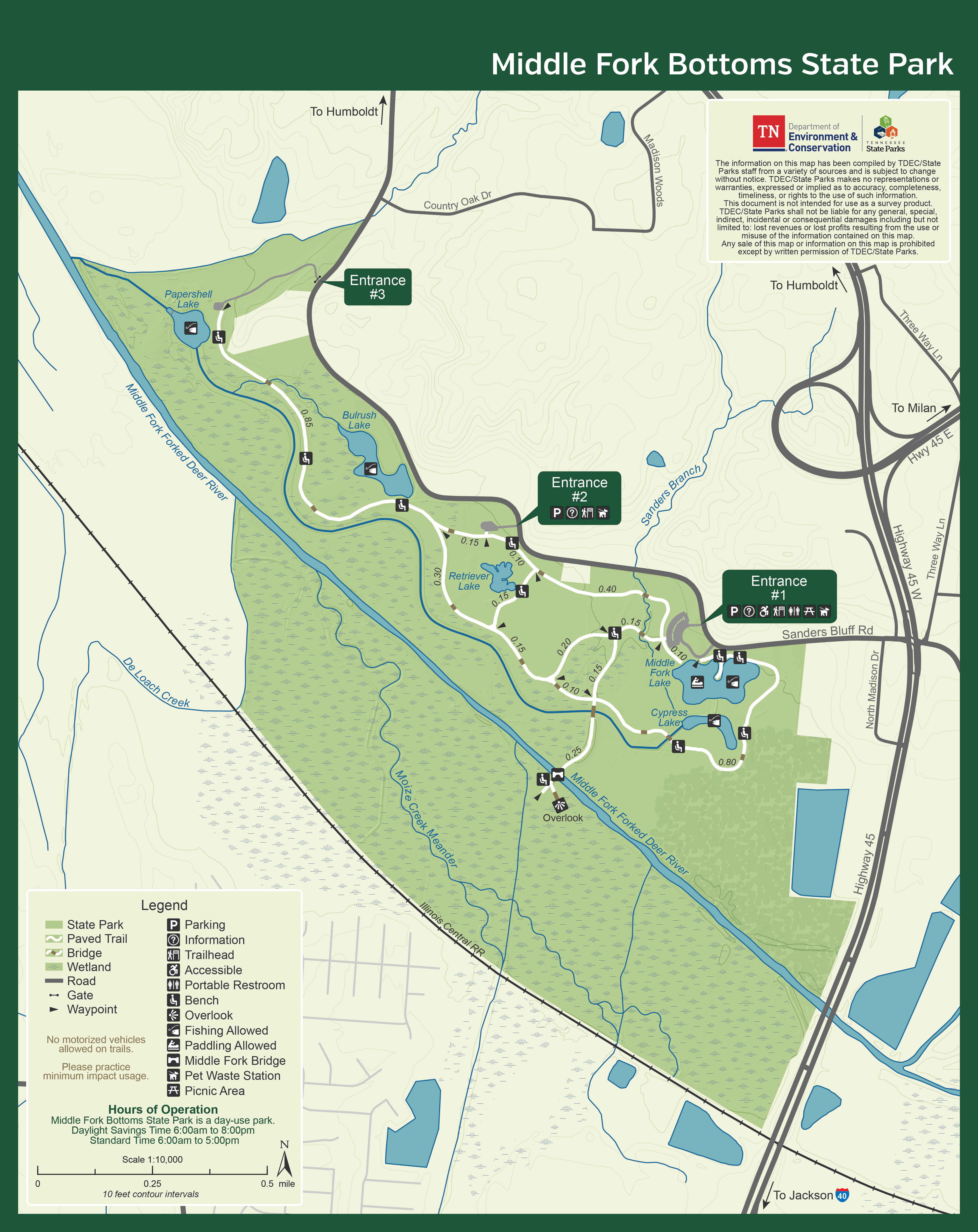
Middle Fork Bottoms Hiking


Hiking at Middle Fork Bottoms
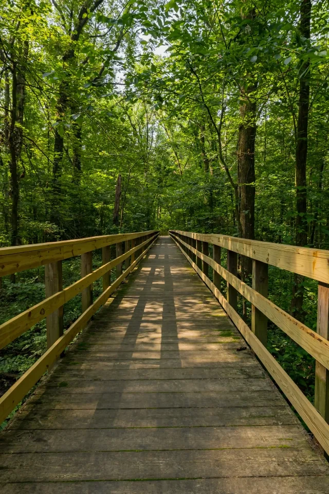
The park has a four-mile interconnected paved trail.
All four miles of the park's trail are currently bicycle and wheelchair-accessible. The trail offers visitors opportunities to view some of the incredible wildlife found at the park.
Trails
Skip to trail navigation
Showing page 1 of 1
Trail Definitions

Land and Water
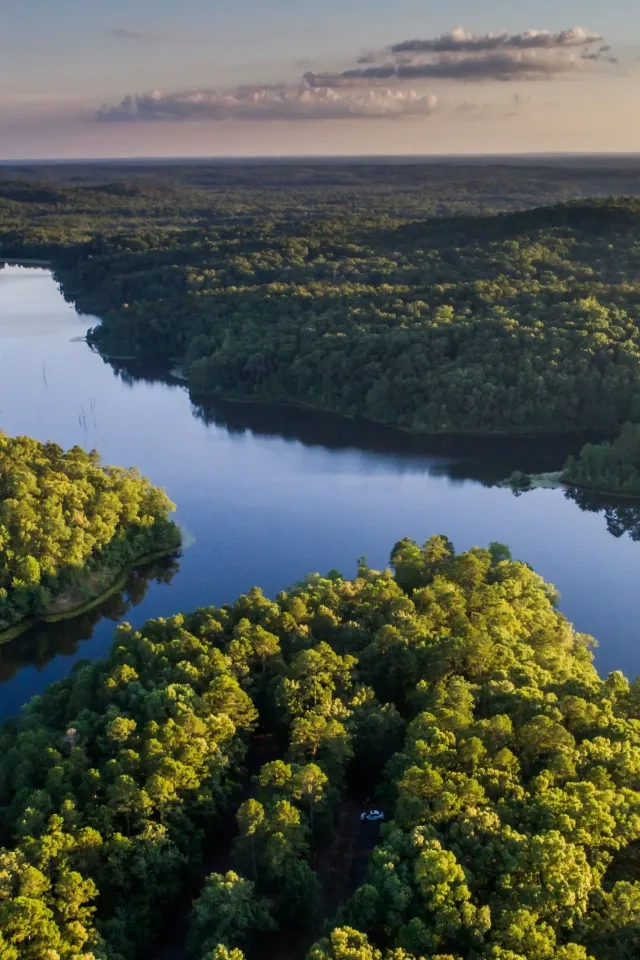
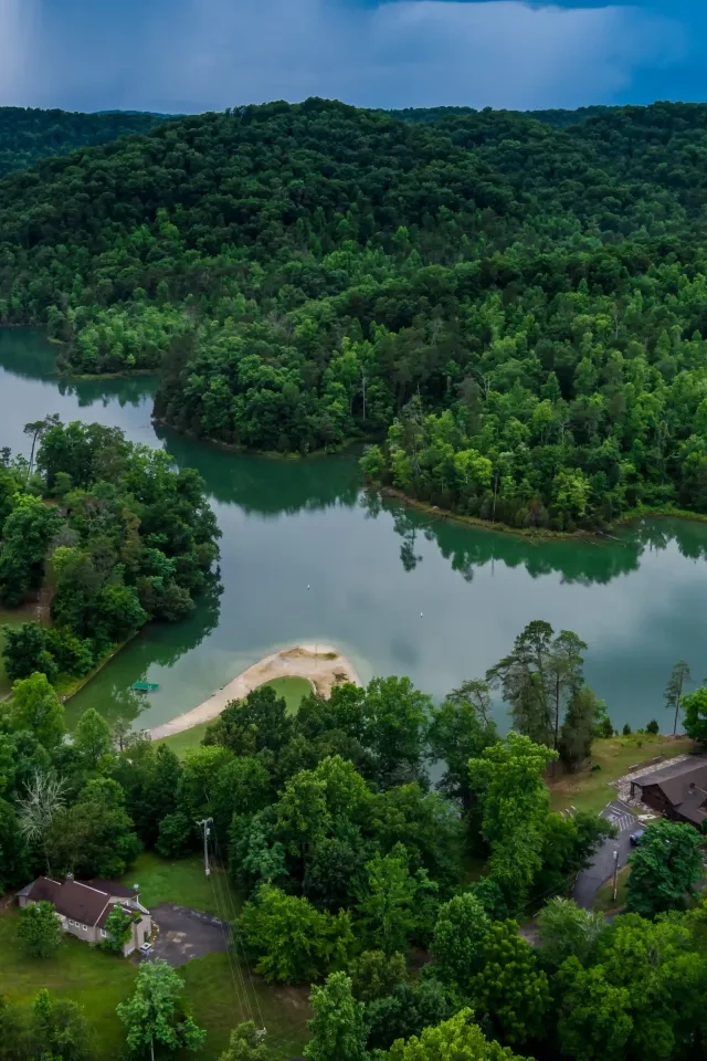
From the trail, visitors may observe the flora and fauna of several intersecting ecosystems such as a newly planted cypress grove and bottomland hardwood plots, oak savannah, wetland and warm season prairies, river corridor, wetlands and depressions and lakes.
The lakes that can be viewed from the trail are:
- Papershell Lake
- Bullrush Lake
- Retriever Lake
- Cypress Lake
- Middle Fork Lake
The trail crosses over the Middle Fork Forked Deer River as well.
Middle Fork Wildlife and Insects
- Butterflies
- Dragonflies
- Deer
- Great Egret
- Great Blue Heron
- Eastern Meadowlark
- Red-winged Blackbird
- Small Rodents
- Aquatic Wildlife
Happenings


