Mousetail Landing Paddling
Notification Alert
Partial Trail Closure
A portion of the 8-mile Eagle Point Loop Trail remains closed due to storm damage. The portion of the trail that remains closed is the section of trail that connects backcountry campsites 1 and 2. Hikers can currently reach both campsites/shelters from the trailhead. The section of the trail between Shelter 1 and Shelter 2 will be reopened as soon as possible.
Thank you for your patience and understanding. If you have any questions, please contact the park office.
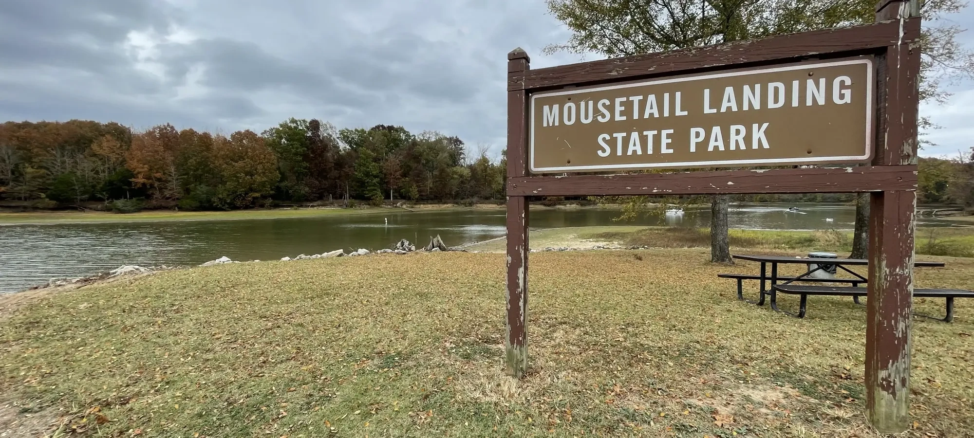
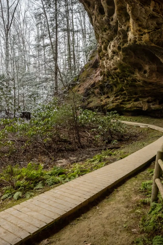
Paddling at Mousetail Landing
Explore Mousetail Landing State Park by water.
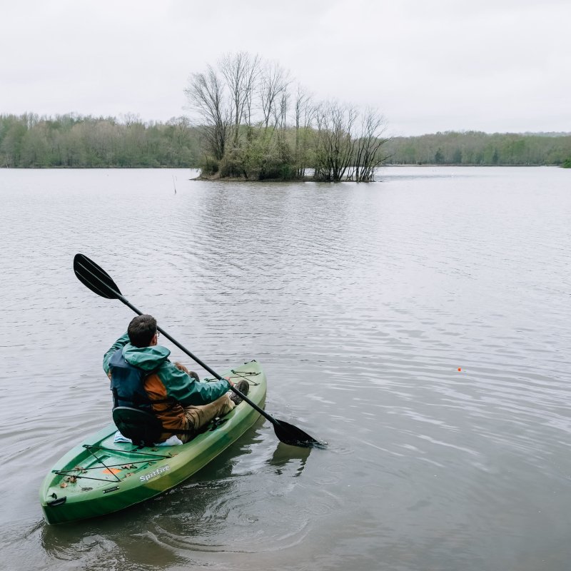
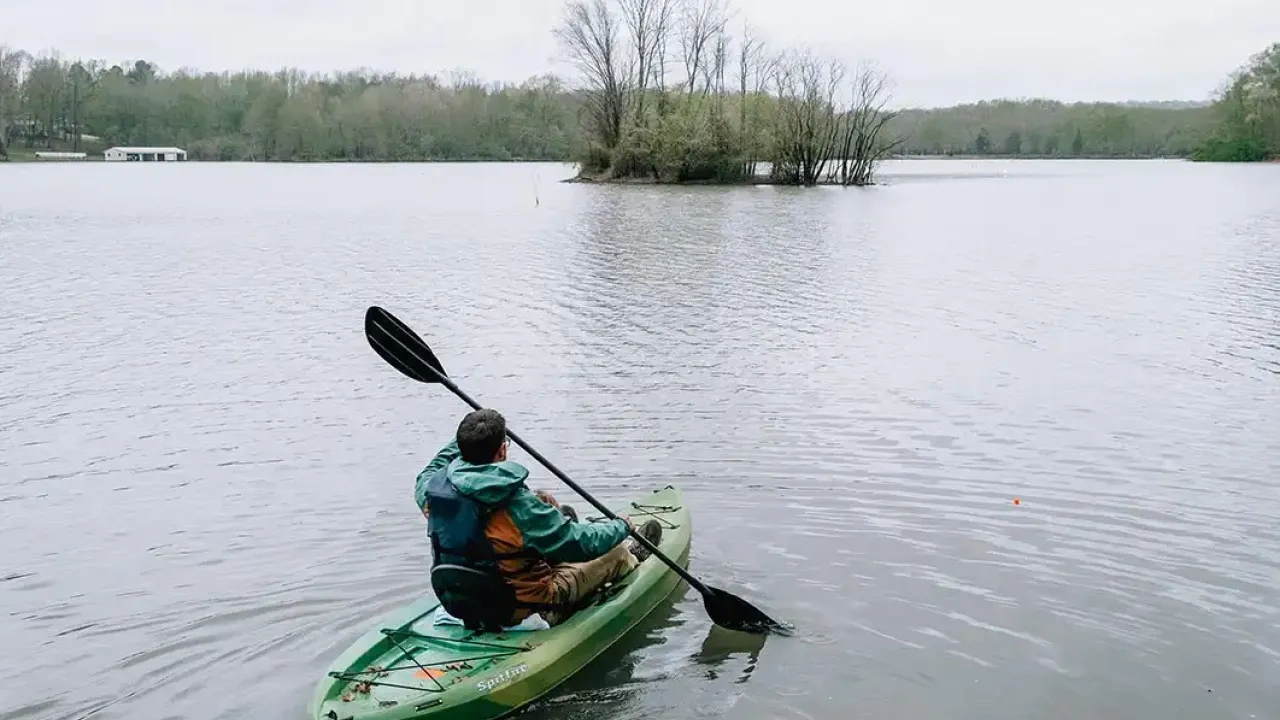
Bring your own canoes and kayaks and paddle the Mousetail Landing State Park water trails.
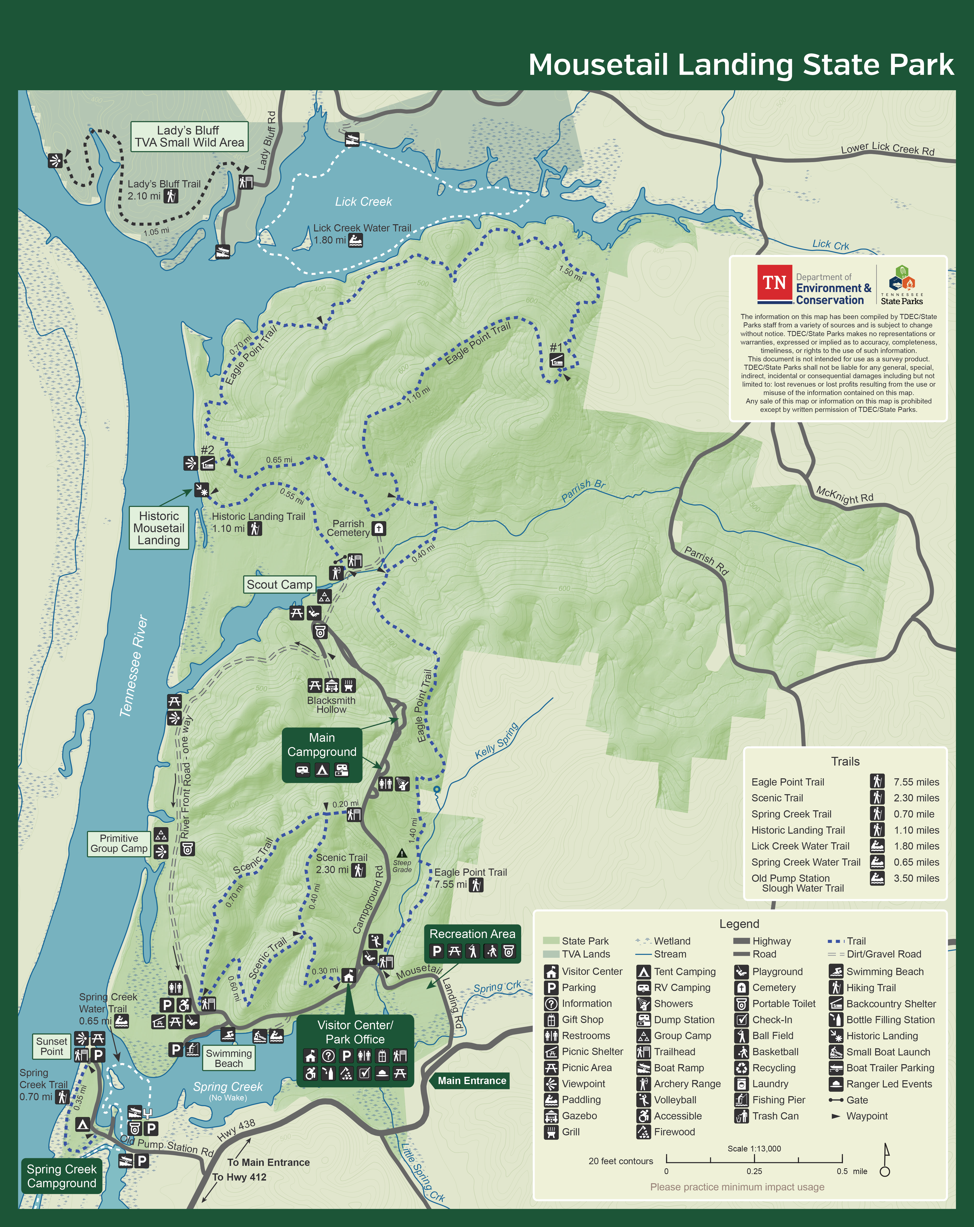
Download our Lick Creek, Spring Creek, and Campground Water Trails map.
Access Points
-
Spring Creek Embayment
Spring Creek Embayment is the most frequented section of the Mousetail Landing State Park Water Trail. It is a no wake zone with a shallow shoreline and two small islands near the headwaters of its namesake.
Bald eagle, heron, osprey, and various songbirds frequent the area in the summer while an abundant species of waterfowl migrate to the area in the fall and winter.
The popular shoreline float trip takes approximately ninety minutes.
DIRECTIONS: Drive 1.9 miles down Hwy 438W off of Hwy 412 W and follow signs to the park boat ramp. The gravel parking lot is partially paved and accommodates approximately 50 trailered vehicles. There is a portable toilet, courtesy dock, and a two-lane concrete boat ramp.
The park’s main boat launch ramp is the put-in and take-out point for kayaks, canoes, standup paddleboards, and motorized watercraft.
-
The Slough
GPS: N 35 38' 52.1" W 88 02'47.3"
The Slough is the most primitive and ecologically vibrant section of the park water trail. Follow these steps to learn where to pause and breathe in the experience.
DIRECTIONS: Drive 1.9 miles down Hwy 438W off of Hwy 412 W. Follow the signs to the park boat ramp. The gravel parking lot is next to the historic pump house and accommodates approximately 20 trailered vehicles. A portable toilet is within walking distance in the adjacent paved parking lot. There is a single lane concrete boat ramp.
-
Lick Creek
GPS: 35°41'24.2"N 88°00'25.6"W
Lick Creek is the most downstream section of the water trail. Paddlers are encouraged to drive to the Lick Creek boat ramp rather than paddle the Tennessee River down and back. Put in at the Lick Creek boat launch ramp and go left along the shoreline of the embayment to the clear headwaters of the tributary’s namesake.
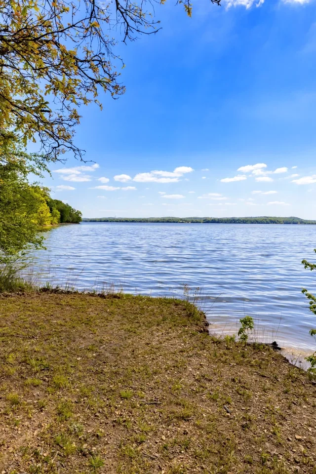
Continue to follow the shoreline and enjoy the sights, sounds and fishing opportunities of this peaceful backwater tributary where bald cypress, willow, buttonbush, and aquatic vegetation support habitat for a variety of songbirds, waterfowl, fish, and mammals indigenous to the area.
Before reaching the confluence with the Tennessee River, watch for motorized boats and paddle across the embayment to the opposite shoreline and take-out at the boat launch ramp where you started your trip.
DIRECTIONS: Drive 3.6 miles down Hwy 438 E off of 438 E, go left on Parrish Rd for 3.5 miles, then turn left and drive down Lower Lick Creek Rd for 1.3 miles. The boat ramp will be on the left. The gravel parking lot accommodates approximately 5 -10 vehicles. There are no restrooms. This is a one single lane concrete unregulated boat ramp.


Paddling the Slough
- Put in at the smaller boat launch next to the historic pump house.
- Proceed directly across the water through an opening wide enough for canoes and kayaks to enter the narrow channel paralleling the Tennessee River.
- Be watchful of experienced anglers in jon boats outfitted for shallow water who infrequently travel the slough.
- Continue along the slough, navigating your way through logs and cypress stumps in the shallow water. These natural features are part of the beauty of the picturesque landscape complimented by the red-eye sliders and snapping turtles resting on them.
- Take a moment to stop and listen to the chorus of songbirds, crickets, and frogs and try not to get startled by an occasional awakening of flocks of egret as you enter tranquil areas along the route.
- Occasionally look through an opening in the tree line for a glimpse of the Tennessee River.
- When you reach the bridge, turn around and return to the boat launch where you started your trip.
- For a longer float trip, continue past the bridge and enter the wetlands wildlife refuge area. Just past the two islands, turn around in the wide lake and return to the boat launch where you started your trip. There are no other access points along the route.


