Sgt. Alvin C. York Hiking

  • Mountainous landscape with green hills under a cloudy sky.
  • A narrow dirt path winds through a lush, green forest. Trees with dense foliage line the path, creating a serene and immersive natural scene.

    Hiking at Sgt. Alvin C. York

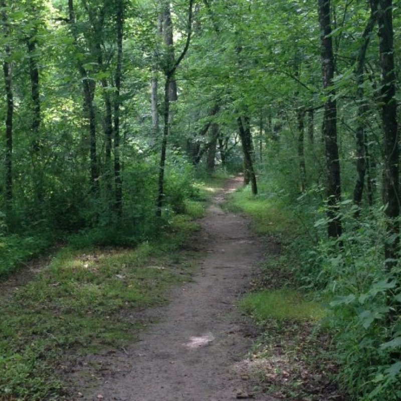
    The park has multiple hiking paths with varying lengths for visitors to enjoy.

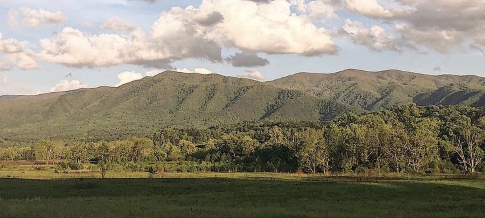
    Homestead Loop: The Homestead Loop encompasses the York Homestead and features sweeping views of the York Home, the York Gristmill, and the surrounding valley. The Trench Trail intersects the Homestead Loop and allows visitors to view a World War I (WWI) replica trench. 

    Burial Site Directions: The Sgt. York burial site is currently only accessible via a driving route. Follow U.S. Route 127 to the Wolf River Loop Road.  

    Swinging Bridge: The Swinging Bridge is unavailable at this time. 

    Trails

    Showing page 1 of 1
    • Homestead Trail

      Sgt. Alvin C. York State Historic Park
      Distance
      1.00 mi.
      Difficulty
      Difficult
      Surface
      Mixed
      The Homestead Loop encompasses the York Homestead and features sweeping views of the York Home, the York Gristmill, and the surrounding valley.
      Availability
      Open
      Allowed
      Hiking

      Homestead Trail

      Sgt. Alvin C. York State Historic Park
      The Homestead Loop encompasses the York Homestead and features sweeping views of the York Home, the York Gristmill, and the surrounding valley.
      Distance
      1.00 mi.
      Difficulty
      Difficult
      Surface
      Mixed
      Allowed
      Hiking

      Trail Type
      Information unavailable

      Elevation
      Gain 47.80'
      Loss 43.20'
      Grade
      Typical 2.3%
      Max 11.6%
      Cross Slope
      Typical 2.2%
      Max 8.7%
      Tread Width
      Typical 65"
      Minimum 48"
      Surface Type
      Mowed grass 60.1%; Asphalt 20.3%; Brick pavers 7.9%; Concrete 6.9%; Gravel 3.4%; Sand 1.4%
      Obstructions Exist
      No obstructions present

      Trench Trail

      Sgt. Alvin C. York State Historic Park
      Distance
      0.15 mi.
      Difficulty
      Difficult
      Surface
      Mixed
      The Trench Trail intersects the Homestead Loop and allows visitors to view a World War 1 replica trench.
      Availability
      Open
      Allowed
      Hiking

      Trench Trail

      Sgt. Alvin C. York State Historic Park
      The Trench Trail intersects the Homestead Loop and allows visitors to view a World War 1 replica trench.
      Distance
      0.15 mi.
      Difficulty
      Difficult
      Surface
      Mixed
      Allowed
      Hiking

      Trail Type
      Information unavailable

      Elevation
      Gain 3.40'
      Loss 14.50'
      Grade
      Typical 2.4%
      Max 11.7%
      Cross Slope
      Typical 2.7%
      Max 7.2%
      Tread Width
      Typical 53"
      Minimum 20"
      Surface Type
      Mowed grass 67.7%; Wood decking 32.3%
      Obstructions Exist
      Step: 5 in tall; Step: 3 in tall; Step: 2 in tall

      Yellow Doors Trail

      Sgt. Alvin C. York State Historic Park
      Distance
      Difficulty
      Surface
      Natural
      Availability
      Open
      Allowed
      Hiking

    Trail Definitions

    • Cross Slope 

      Describes the degree of incline from one side of the trail path to the other; measured as a percentage. Cross slope aids in water drainage and impacts the overall trail stability.   

    • Grade  

      Describes the rise in elevation over a horizontal distance on the trail; measured as a percentage.  Higher percentages represent a steeper grade indicating a more challenging ascent or descent for hikers.    

    • Standard Ramp Grade

      Serves as a reference guide for the grade of the trail.  Standard Ramp Grade is 8.3% across all trail assessments.  

    • Surface 

      A characteristic of the trail expressed in terms of material type, grading, compaction, and roughness of the path. Possible surface types include soil, gravel, paved, and mulch.   

    • Tread Width    

      Represents the horizontal distance from one edge of the trail path to the other; measurements can vary.  Tread width helps to determine the amount of space a hiker has to pass through. Obstacles on the trail can alter the remaining tread width.   

    • Trail Types: Loop

      Trail returns at or near the point from which you started. 

    • Trail Types: Network 

      Offers multiple route options within one trail, and each route is connected

    • Trail Types: Out and Back

      This type of trail travels out to an endpoint where hikers turn around and travel back to the starting point.   

    • Trail Types: Stacked Loop

      A loop trail contained completely within another trail.   

    Need a Map?

    Explore our collection of printable and digital trail maps, organized by park. Whether you’re hiking, camping, or paddling, you’ll find the resources you need to navigate confidently.


    Visitor Center Gift Shop

    The Visitor Center Gift Shop is the perfect place to pick up a map, learn about the park, or find a souvenir. You’ll find an assortment of apparel and keepsakes to remember your trip to the park.

    Address:
    2609 North York Highway, Pall Mall TN, 38577
    1-931-879-6456

    Hours: 8:00 AM - 4:00 PM

    Happenings

    No events are scheduled at this time, but there's always more to explore.

    Find More Events