Big Ridge Hiking

  • River winding through lush green hills under cloudy sky.
  • Bridge over water, leading to lush green forest under a blue sky.

    Hiking at Big Ridge  

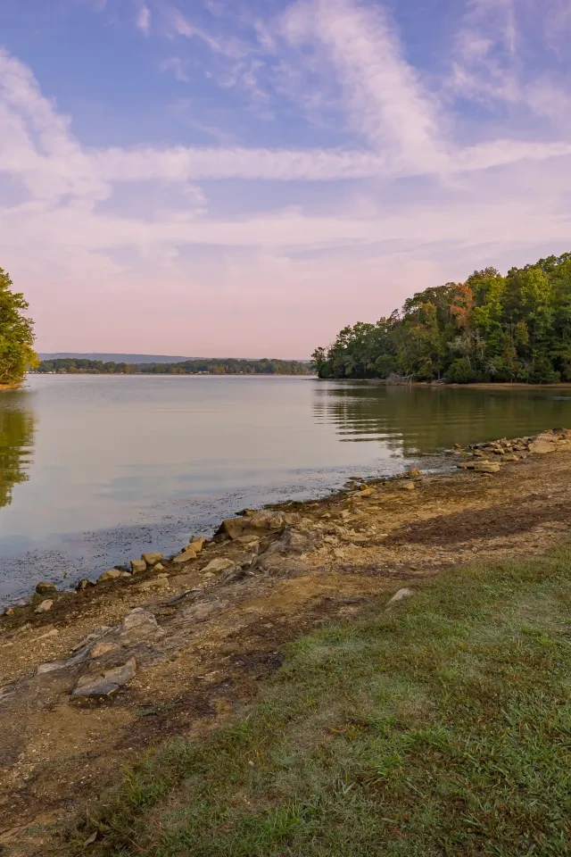
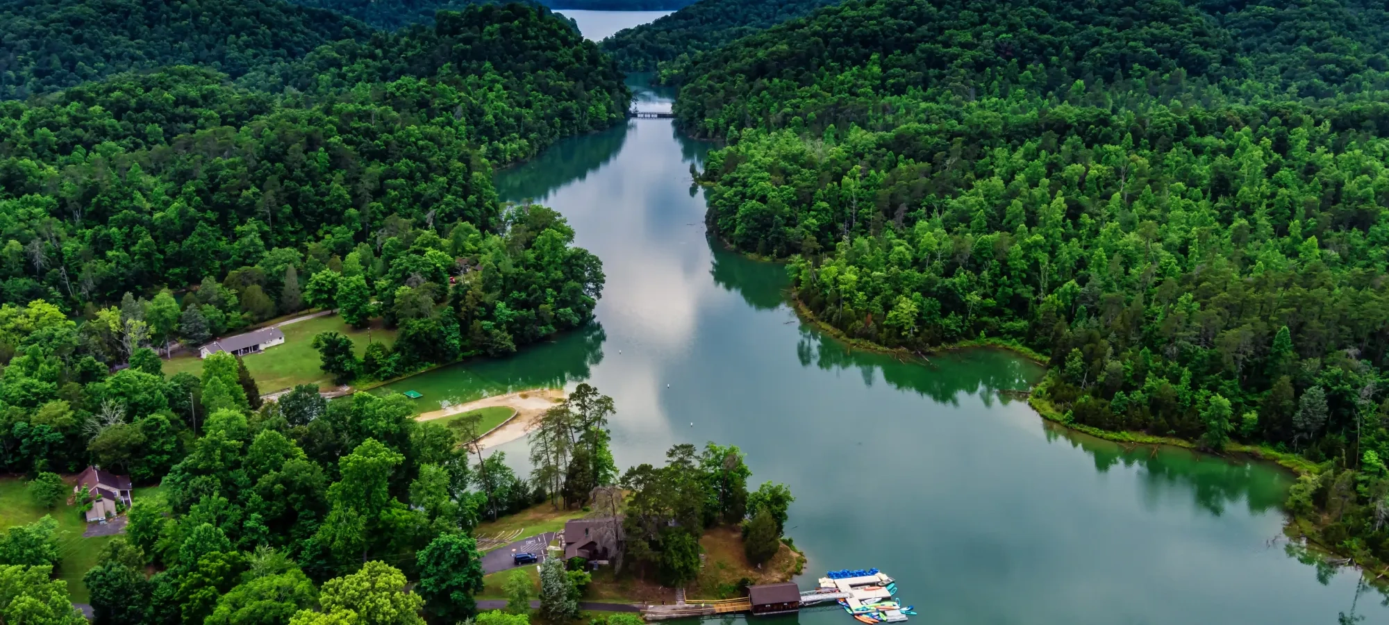
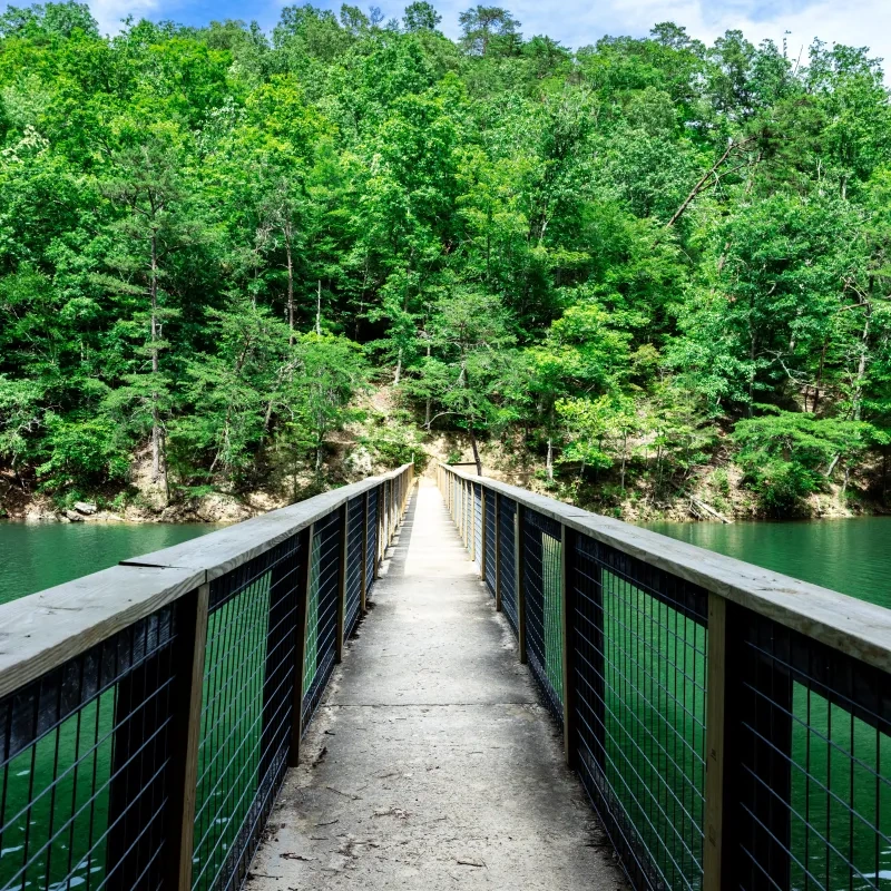
    Over 15 miles of hiking trails travel along dry ridges, lush hollows, old roadbeds, lakeshores and beside cemeteries and remnants of early settlements. Trails range from easy to very rugged. Free trail maps are available at the park office. Trails are open year round and overnight camping is allowed on designated backcountry campsites. Reservations are required. 

    Trails

    Showing page 1 of 2
    • Big Valley Trail

      Big Ridge State Park
      Distance
      1.90 mi.
      Difficulty
      Difficult
      Surface
      Natural
      The 1.7-mile Big Valley Trail starts near the gristmill and takes you to the start of the Indian Rock Loop, passing the Ghost House Loop Trail and the Dark Hollow trails along the way.  The trail is a strenuous hike that travels a road once used by many of this area's earlier settlers as they hauled corn down to the Norton Gristmill. The trail traverses Pinnacle Ridge, descends into Dark Hollow and then climbs to the top of Big Ridge. It passes Langley Cemetery, where the only modern gravestone marks the resting place of young Edward Loy, who died in 1932 at the age of five. Several species of spring wildflowers can be seen along the entire trail, including pink lady's slippers, yellow star grass, crested dwarf iris and many others.
      Availability
      Open
      Allowed
      Hiking

      Chestnut Ridge Trail

      Big Ridge State Park
      Distance
      0.75 mi.
      Difficulty
      Moderate
      Surface
      Mixed
      This 0.75 mile trail leads from the cabin area to the road near the park's back entrance. This easy to moderate hike offers a variety of sites to see including sinkholes, Lyon's Spring Branch and remains of American Chestnut trees. These trees once dominated the ridge before they were decimated by blight. One of the most notable sites is the land itself where signs of erosion, farming uses and forest succession can be seen.
      Availability
      Open
      Allowed
      Hiking

      Dark Hollow Trail East

      Big Ridge State Park
      Distance
      1.40 mi.
      Difficulty
      Surface
      Natural
      This trail has an eastern and western portion. The 1.7-mile western portion leads from Big Ridge Dam to the Big Valley Trail, while the 1.3 mile eastern portion starts at Big Valley Trail and dead ends at Norris Lake. This trail was once a country road and there are still many noticeable areas where some of Big Ridge's settlers made their homes. The ridge north of the hollow is Big Ridge and the ridge south of the hollow is Pinnacle Ridge.
      Availability
      Open
      Allowed
      Hiking

      Dark Hollow Trail West

      Big Ridge State Park
      Distance
      2.00 mi.
      Difficulty
      Surface
      Natural
      This trail has an eastern and western portion. The 1.7-mile western portion leads from Big Ridge Dam to the Big Valley Trail, while the 1.3 mile eastern portion starts at Big Valley Trail and dead ends at Norris Lake. This trail was once a country road and there are still many noticeable areas where some of Big Ridge's settlers made their homes. The ridge north of the hollow is Big Ridge and the ridge south of the hollow is Pinnacle Ridge.
      Availability
      Open
      Allowed
      Hiking

      Fishermans Trail

      Big Ridge State Park
      Distance
      0.35 mi.
      Difficulty
      Surface
      Natural
      This short and easy trail begins near the back entrance of the park and takes you to an area of Norris Lake known as Poor Land Valley. Some say that this area obtained its name many years ago because of the poor quality of the soil for farming. Follow this trail to find a quiet spot suitable for fishing.
      Availability
      Open
      Allowed
      Hiking

      Ghost House Trail

      Big Ridge State Park
      Distance
      1.25 mi.
      Difficulty
      Easy
      Surface
      Natural
      This 1.2-mile easy to moderate loop begins near the group camp and takes you deep into the history of this area's pre-1930s inhabitants. According to locals and some park visitors, eerie and unexplainable events occur along this trail. Make a stop at the Norton Cemetery and visit the sunken grave of Maston Hutchinson, who some think is responsible for these strange occurrences. Continue down the trail towards Big Valley and make a stop at the remnants of the famous Ghost House, Maston's home that was thought to be haunted.
      Availability
      Open
      Allowed
      Hiking

      Indian Rock Trail

      Big Ridge State Park
      Distance
      2.65 mi.
      Difficulty
      Difficult
      Surface
      Natural
      Recommended for the experienced hiker only, the 2.6-mile Indian Rock Loop Trail begins just past Langley Cemetery via the Big Valley Trail. Indian Rock Trail passes by a rocky area where a plaque commemorates the location where Peter Graves, a settler of Sharp's Station was scalped and killed by Indians while turkey hunting. As legend tells, he though he heard a turkey gobble behind some rocks, but to his surprise, there was no turkey, but a group of Indians.
      Availability
      Open
      Allowed
      Hiking

      Lake Trail

      Big Ridge State Park
      Distance
      1.80 mi.
      Difficulty
      Difficult
      Surface
      Natural
      This 1.5-mile (distance one way) easy to moderate trail meanders around one side of the 49-acre Big Ridge Lake. It crosses Big Ridge Dam, which was constructed in the 1930s by the Civilian Conservation Corp. The young men of the CCC are responsible for building the dam and many of the other structures in the park. This trail is an excellent one for viewing wildlife such as deer, frogs, heron, wood ducks and much more. If you like, you can also make a stop at the Snodderly Cemetery where many of the area's earlier inhabitants are buried. You can return along the same trail, or take a slightly shorter walk along the park road back to your origination point.
      Availability
      Open Seasonal
      Allowed
      Hiking

      Lake Trail

      Big Ridge State Park
      This 1.5-mile (distance one way) easy to moderate trail meanders around one side of the 49-acre Big Ridge Lake. It crosses Big Ridge Dam, which was constructed in the 1930s by the Civilian Conservation Corp. The young men of the CCC are responsible for building the dam and many of the other structures in the park. This trail is an excellent one for viewing wildlife such as deer, frogs, heron, wood ducks and much more. If you like, you can also make a stop at the Snodderly Cemetery where many of the area's earlier inhabitants are buried. You can return along the same trail, or take a slightly shorter walk along the park road back to your origination point.
      Distance
      1.80 mi.
      Difficulty
      Difficult
      Surface
      Natural
      Allowed
      Hiking

      Trail Type
      Information unavailable

      Elevation
      Gain 279.90'
      Loss 372.40'
      Grade
      Typical 7.1%
      Max 35.9%
      Cross Slope
      Typical 2.3%
      Max 16.3%
      Tread Width
      Typical 29"
      Minimum 9"
      Surface Type
      Soil 84.1%; Crushed stone 12.3%; Wood decking 2.1%; Concrete 1.3%; Rock 0.1%
      Obstructions Exist
      Step: 16 in tall; Waterbar: 13 in tall; Tree root: 12 in tall

      Loyston Point Trail

      Big Ridge State Park
      Distance
      0.30 mi.
      Difficulty
      Difficult
      Surface
      Natural
      This short trail to Loyston Overlook takes hikers to an area where they can see the widest portion of Norris Lake and is where the town of Loyston once sat. The lake was formed in the 1930s with the completion of TVA's first project, Norris Dam. This wide area of the lake is known locally as Loyston Sea. The former once bustling town was founded in the early 1800s by John Loy, who established a foundry in the area. It included a grocery store, gas station, school, churches and even a post office, all of which are now covered by the waters of Norris Lake.
      Availability
      Open
      Allowed
      Hiking
    • Lyons' Loop Trail

      Big Ridge State Park
      Distance
      1.50 mi.
      Difficulty
      Surface
      Natural
      Availability
      Open
      Allowed
      Hiking Mountain Biking

      Meditation Point Trail

      Big Ridge State Park
      Distance
      0.10 mi.
      Difficulty
      Difficult
      Surface
      Natural
      This very short and easily traveled trail climbs to a covered bench shelter which makes for an excellent spot to relax or get more in touch with the natural world.
      Availability
      Open
      Allowed
      Hiking

      Meditation Point Trail

      Big Ridge State Park
      This very short and easily traveled trail climbs to a covered bench shelter which makes for an excellent spot to relax or get more in touch with the natural world.
      Distance
      0.10 mi.
      Difficulty
      Difficult
      Surface
      Natural
      Allowed
      Hiking

      Trail Type
      Information unavailable

      Elevation
      Gain 46.90'
      Loss 16.00'
      Grade
      Typical 7.8%
      Max 25.3%
      Cross Slope
      Typical 3.4%
      Max 16.4%
      Tread Width
      Typical 21"
      Minimum 12"
      Surface Type
      Soil 100%
      Obstructions Exist
      Tree roots: 5 in tall; Tree root: 4 in tall; Tree root: 3 in tall

      Ole Mill Trail

      Big Ridge State Park
      Distance
      0.25 mi.
      Difficulty
      Difficult
      Surface
      Natural
      This trail is a short (0.3 mile one direction) and easy hike that leads from the lakeside cabins to Norton Gristmill. The mill was built in 1825 and was privately operated until 1930. The trail meanders along Big Ridge Land and over to Lyon's Spring Branch which once supplied the water to make the millwheel turn. Be sure to look for signs of beaver along the way.
      Availability
      Open
      Allowed
      Hiking

      Ole Mill Trail

      Big Ridge State Park
      This trail is a short (0.3 mile one direction) and easy hike that leads from the lakeside cabins to Norton Gristmill. The mill was built in 1825 and was privately operated until 1930. The trail meanders along Big Ridge Land and over to Lyon's Spring Branch which once supplied the water to make the millwheel turn. Be sure to look for signs of beaver along the way.
      Distance
      0.25 mi.
      Difficulty
      Difficult
      Surface
      Natural
      Allowed
      Hiking

      Trail Type
      Information unavailable

      Elevation
      Gain 65.10'
      Loss 39.50'
      Grade
      Typical 7.9%
      Max 35.3%
      Cross Slope
      Typical 6.9%
      Max 27.4%
      Tread Width
      Typical 19"
      Minimum 10"
      Surface Type
      Soil 95.1%; Rock 2%; Crushed stone 1.7%; Wood decking 1.2%
      Obstructions Exist
      Rock: 8 in tall; Step: 7 in tall; Rock: 10 in tall

      Sharps Station Trail

      Big Ridge State Park
      Distance
      0.25 mi.
      Difficulty
      Difficult
      Surface
      Natural
      This trail branches off from Indian Rock Loop Trail and travels 0.2 miles along the shores of Norris Lake to the site of Sharp's Station Fort. This fort was founded in the 1780s and was one of the first two settlements west of the Appalachian Mountains, the other being James White Fort in Knoxville. A stone wall is all that remains of Sharp's Station, commemorated by a plaque at the area.
      Availability
      Open
      Allowed
      Hiking

    Trail Definitions

    • Cross Slope 

      Describes the degree of incline from one side of the trail path to the other; measured as a percentage. Cross slope aids in water drainage and impacts the overall trail stability.   

    • Grade  

      Describes the rise in elevation over a horizontal distance on the trail; measured as a percentage.  Higher percentages represent a steeper grade indicating a more challenging ascent or descent for hikers.    

    • Standard Ramp Grade

      Serves as a reference guide for the grade of the trail.  Standard Ramp Grade is 8.3% across all trail assessments.  

    • Surface 

      A characteristic of the trail expressed in terms of material type, grading, compaction, and roughness of the path. Possible surface types include soil, gravel, paved, and mulch.   

    • Tread Width    

      Represents the horizontal distance from one edge of the trail path to the other; measurements can vary.  Tread width helps to determine the amount of space a hiker has to pass through. Obstacles on the trail can alter the remaining tread width.   

    • Trail Types: Loop

      Trail returns at or near the point from which you started. 

    • Trail Types: Network 

      Offers multiple route options within one trail, and each route is connected

    • Trail Types: Out and Back

      This type of trail travels out to an endpoint where hikers turn around and travel back to the starting point.   

    • Trail Types: Stacked Loop

      A loop trail contained completely within another trail.   

    Need a Map?

    Explore our collection of printable and digital trail maps, organized by park. Whether you’re hiking, camping, or paddling, you’ll find the resources you need to navigate confidently.


    Visitor Center Gift Shop 

    The Visitor Center Gift Shop is the perfect place to pick up a map, learn about the park, or find a souvenir. You’ll find an assortment of apparel and keepsakes to remember your trip to the park. 

    Address:
    1015 Big Ridge Park Road, Maynardville TN, 37087

    Hours: 
    8:00 AM - 4:30 PM    

    Skip photo gallery
    Media Crowdriff
    Happenings

    No events are scheduled at this time, but there's always more to explore.

    Find More Events