Meeman-Shelby Forest Hiking

Warning Alert
Warning

Road Closed Due to Erosion

Meeman-Shelby Forest State Park

Due to erosion issues, One Way Road, past the campground at Meeman-Shelby, is closed. Please don't try to access these areas for your safety.

Thank you for your patience and understanding. If you have any questions about your upcoming reservation, please call 1 (888) 867-2757.
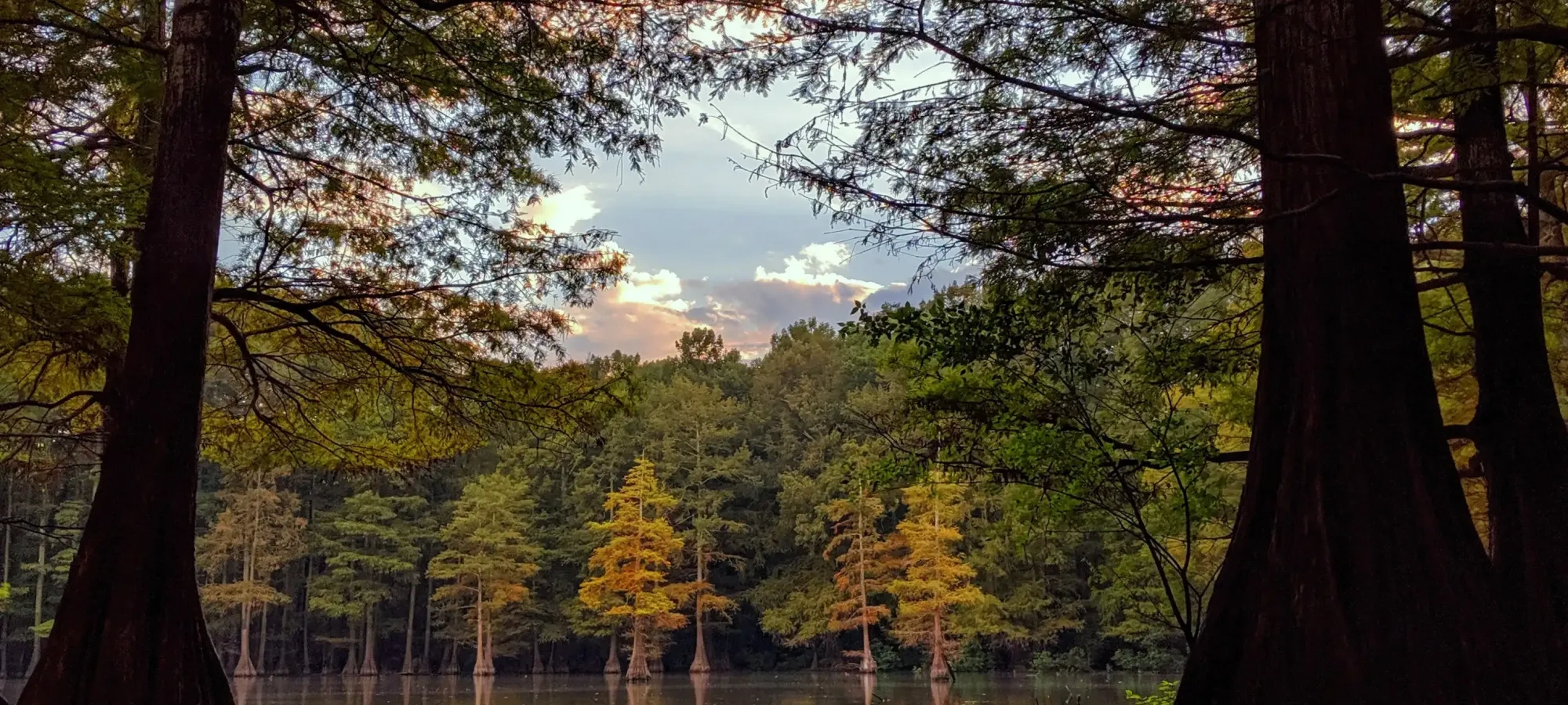
  • Tall trees reflected in a calm lake at sunset.
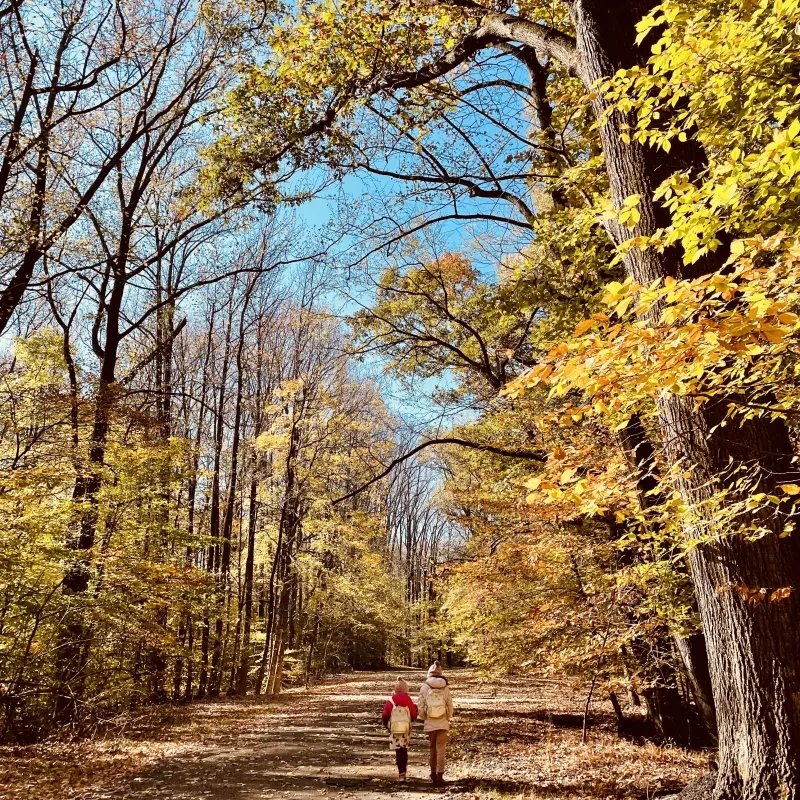
  • Two people walking on a sunny, forest path with autumn leaves.

    Hiking at Meeman-Shelby Forest  

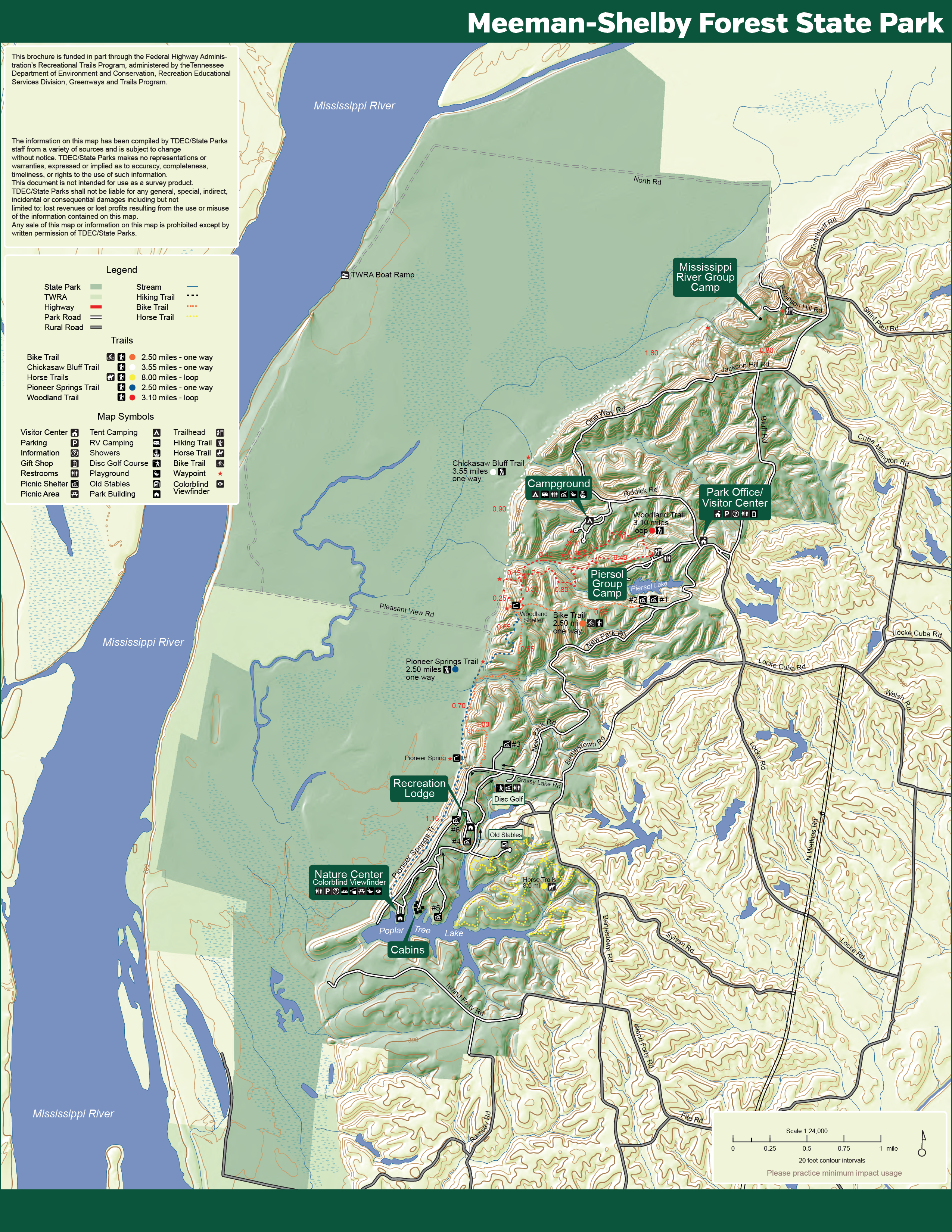
    Meeman-Shelby Forest State Park offers more than 20 miles of trails that wind throughout the park. Trails range from moderate to very rugged and some are multi-use. Trail and topography maps are available at the visitor center. 

    Trails

    Showing page 1 of 1
    • Bike Trail

      Meeman-Shelby Forest State Park
      Distance
      2.50 mi.
      Difficulty
      Moderate
      Surface
      Paved
      The multi-use Bike Trail weaves through the forest and accommodates strollers.
      Availability
      Open
      Use
      Biking Hiking

      Bike Trail

      Meeman-Shelby Forest State Park
      The multi-use Bike Trail weaves through the forest and accommodates strollers.
      Distance
      2.50 mi.
      Difficulty
      Moderate
      Surface
      Paved
      Use
      Biking Hiking

      Trail Type
      Information unavailable

      Elevation
      Gain 148.70'
      Loss 207.30'
      Grade
      Typical 2.7%
      Max 21.6%
      Cross Slope
      Typical 2.4%
      Max 11.3%
      Tread Width
      Typical 53"
      Minimum 1"
      Surface Type
      Asphalt 99.8%; Gravel 0.2%
      Obstructions Exist
      Water crossing: 24 in deep; Broken asphalt: 6 in deep; Broken asphalt: 3 in deep

      Chickasaw Bluff Trail

      Meeman-Shelby Forest State Park
      Distance
      3.55 mi.
      Difficulty
      Moderate
      Surface
      Natural
      Availability
      Open
      Use
      Hiking

      Pioneer Springs Trail

      Meeman-Shelby Forest State Park
      Distance
      2.50 mi.
      Difficulty
      Moderate
      Surface
      Natural
      The trail runs along the borders of the upland bluff and bottomland forests.
      Availability
      Open
      Use
      Hiking

      Pioneer Springs Trail

      Meeman-Shelby Forest State Park
      The trail runs along the borders of the upland bluff and bottomland forests.
      Distance
      2.50 mi.
      Difficulty
      Moderate
      Surface
      Natural
      Use
      Hiking

      Trail Type
      Information unavailable

      Elevation
      Gain 504.00'
      Loss 240.80'
      Grade
      Typical 5.3%
      Max 35.5%
      Cross Slope
      Typical 3.5%
      Max 23.8%
      Tread Width
      Typical 26"
      Minimum 12"
      Surface Type
      Soil 92.9%; Sand 2.6%; Wood decking 2.2%; Asphalt 2%; Gravel 0.4%
      Obstructions Exist
      Drainage dip: 24 in deep; Tree: 21 in of tread remaining; Tree root: 16 in tall

      Woodland Trail

      Meeman-Shelby Forest State Park
      Distance
      3.10 mi.
      Difficulty
      Moderate
      Surface
      Natural
      Availability
      Open
      Use
      Hiking

    Trail Definitions

    • Cross Slope 

      Describes the degree of incline from one side of the trail path to the other; measured as a percentage. Cross slope aids in water drainage and impacts the overall trail stability.   

    • Grade  

      Describes the rise in elevation over a horizontal distance on the trail; measured as a percentage.  Higher percentages represent a steeper grade indicating a more challenging ascent or descent for hikers.    

    • Standard Ramp Grade

      Serves as a reference guide for the grade of the trail.  Standard Ramp Grade is 8.3% across all trail assessments.  

    • Surface 

      A characteristic of the trail expressed in terms of material type, grading, compaction, and roughness of the path. Possible surface types include soil, gravel, paved, and mulch.   

    • Tread Width    

      Represents the horizontal distance from one edge of the trail path to the other; measurements can vary.  Tread width helps to determine the amount of space a hiker has to pass through. Obstacles on the trail can alter the remaining tread width.   

    • Trail Types: Loop

      Trail returns at or near the point from which you started. 

    • Trail Types: Network 

      Offers multiple route options within one trail, and each route is connected

    • Trail Types: Out and Back

      This type of trail travels out to an endpoint where hikers turn around and travel back to the starting point.   

    • Trail Types: Stacked Loop

      A loop trail contained completely within another trail.   

    Need a Map?

    Explore our collection of printable and digital trail maps, organized by park. Whether you’re hiking, camping, or paddling, you’ll find the resources you need to navigate confidently.


    Visitor Center Gift Shop

    The Visitor Center Gift Shop is the perfect place to pick up a map, learn about the park, or find a souvenir. You’ll find an assortment of apparel and keepsakes to remember your trip to the park.

    Address:
    910 Riddick Road, Millington TN, 38053

    Hours: 
    Monday - Friday
    7:00 AM - 7:00 PM

    Saturday and Sunday
    7:00 AM - 6:00 PM 

    Image Subject By
    Skip photo gallery
    Media Crowdriff
    Happenings
    two daisies in focus surrounded by greenery with a blue highlight