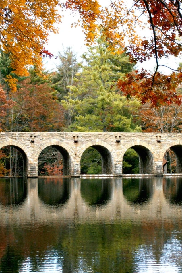
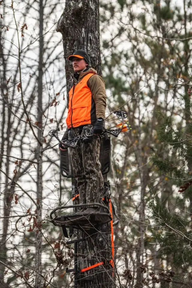
Scott's Gulf Wilderness Paddling
Paddling at Scott’s Gulf Wilderness
There are several opportunities to get on the water with a canoe or kayak.
But please be advised and exercise caution before entering the river.
Scott’s Gulf Wilderness State Park does not rent equipment at this time.
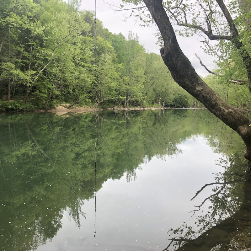
Picnic tables are available along the Mitchell Ford River Access.
Access Points: Additional Information
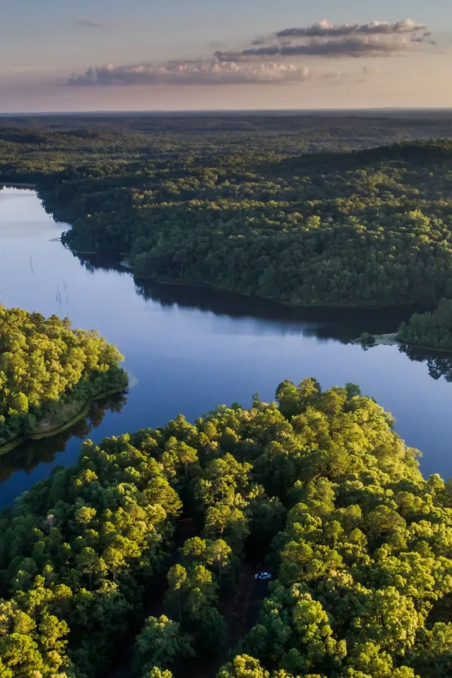
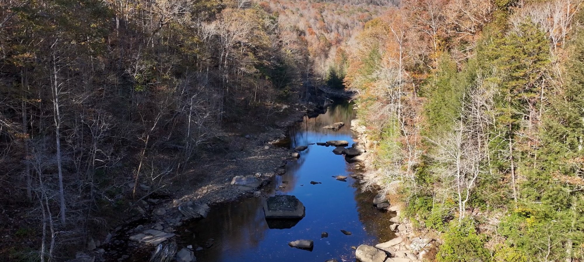
The main river access area in Scott’s Gulf Wilderness State Park is the Mitchell Ford River Access.
There is a large, natural pool where you can paddle. Or you can paddle six miles downstream to the take-out on Highway 111, the Plumlee Ford River Access.
If you paddle that stretch of river, you will need to run a shuttle, but it is an easy shuttle, not much longer than the paddle itself, which is about seven miles.
Low Water Times
Be advised that in low water times, there are two cobbly shoals that you will have to pull your canoes or kayaks across. At about two miles into that stretch of river, you may encounter some of the “slack” water of the Great Falls Dam at Rock Island, and the last part of that six-mile trip is usually on flat water.


Caney Fork River Paddling
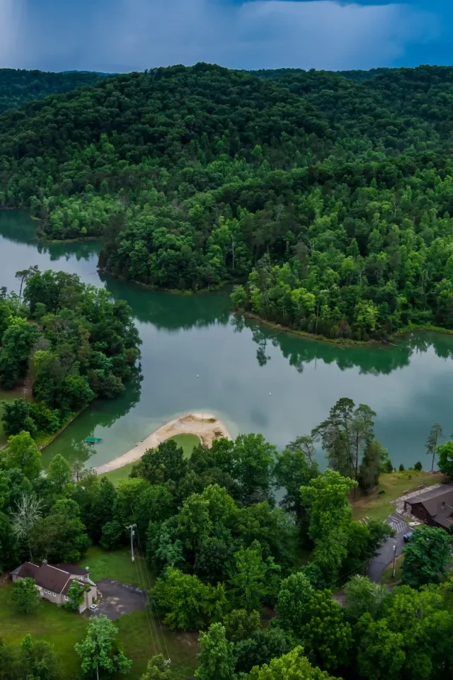
Some folks have paddled the portion of the Caney Fork River from the Fork Hole down to the Mitchell Ford River Access.
This is a beautiful 9-mile stretch of the river. However, it can only be paddled when the river is above ground. In dry years, significant stretches between the pools (Fork Hole, Amber’s Den Hole, and Mitchell Ford) of the Caney Fork River can dry out. When the river goes dry like this, it makes paddling that stretch impossible (these stretches are too frequent and too long to portage). Also, paddling this stretch of river requires a long shuttle of about 30 miles. The last two miles of this shuttle down to the Fork Hole are rough miles requiring a 4-wheel drive vehicle.
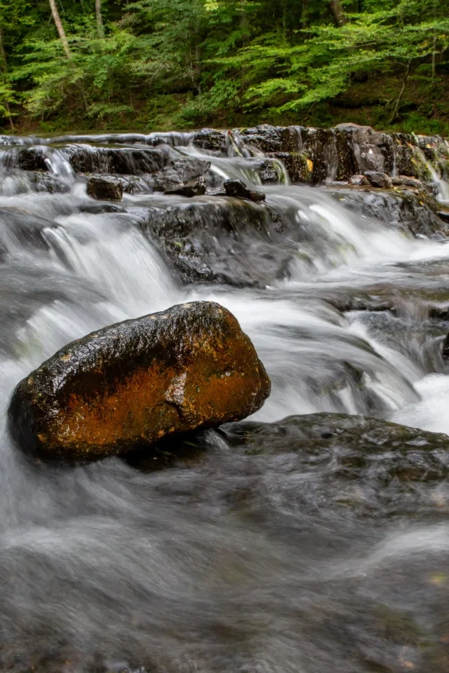
On this nine-mile stretch of river, there are numerous Class 1 and 2 rapids. There is also the potential for strainers, situations where a tree or trees are stretched across the river.
During high waters, this section of the river can be very dangerous for paddlers.
Caney Fork River Rapids
The stretch of the Caney Fork River, where it enters the park just downstream from Clifty Bridge and down to the Fork Hole in the wet season, is “big water” and should be left to the pros and the most experienced paddlers. Also, this section of the river dries up during the summer months.
At optimum flow, during the wet seasons, this stretch of river contains several Class 4 rapids, and one Class 5 rapid. A paddler must have a high skill level before attempting this stretch of river.
Check out the listing by the American White Water Association.
- To traverse this section, you should be a skilled whitewater paddler who knows how to read the river and understands the different river levels (flow, measured in cubic feet per second or CFS) before attempting this stretch of river.
- The same warning goes to those who would paddle Bee Creek as there can be some “big water” on that creek and you should know what you are getting into before you embark on a trip down Bee Creek.

Discover More at Scott's Gulf Wilderness

No events are scheduled at this time, but there's always more to explore.