Harpeth River Hiking
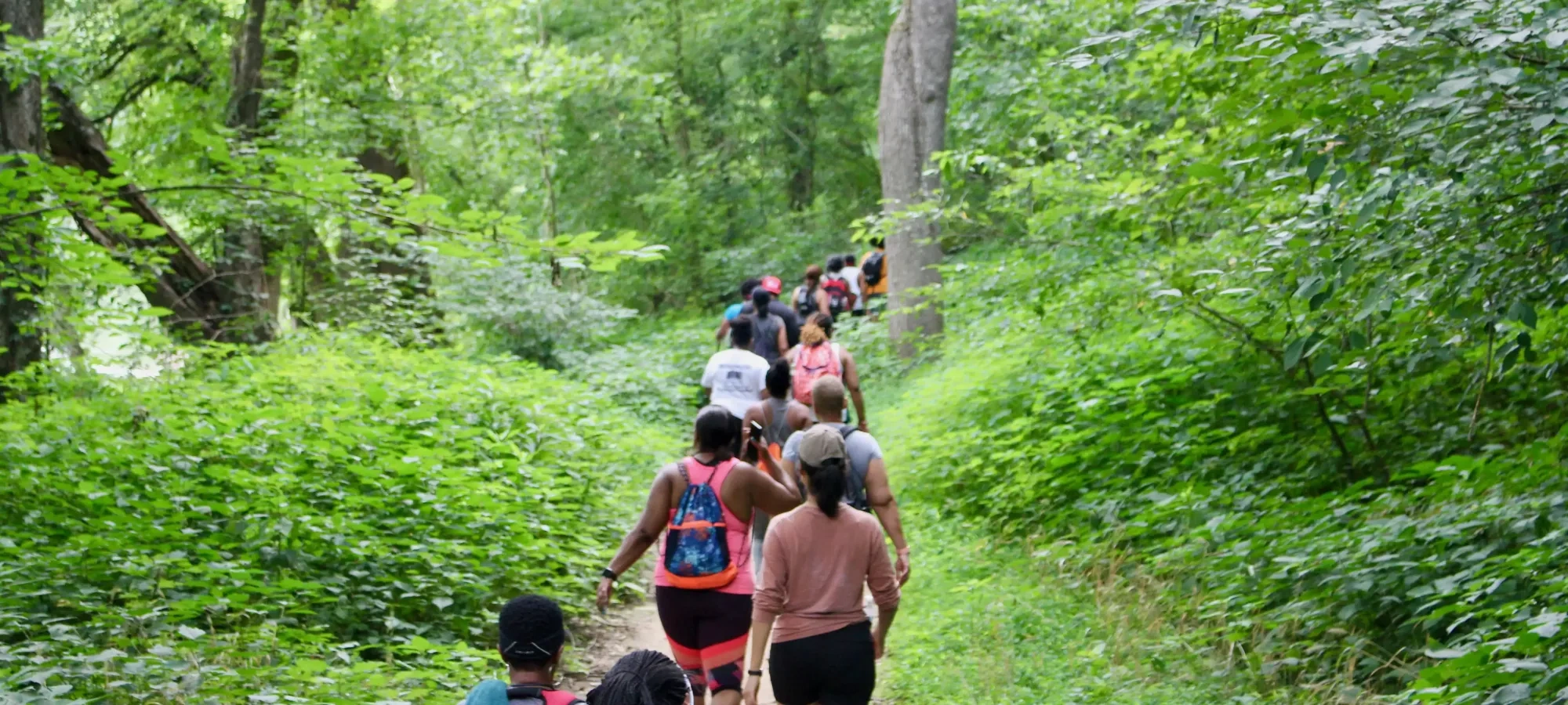
Hiking at Harpeth River
Harpeth River State Park has a total of 5.65 miles of trails distributed across three of the park's 12 sites, with each site bordering the Harpeth River. Hidden Lake, The Narrows of the Harpeth, and the Gossett Tract each have their own unique array of trails ranging from easy, low-impact trails to difficult scenic bluff trails that offer stunning views of the Harpeth River and surrounding landscape.
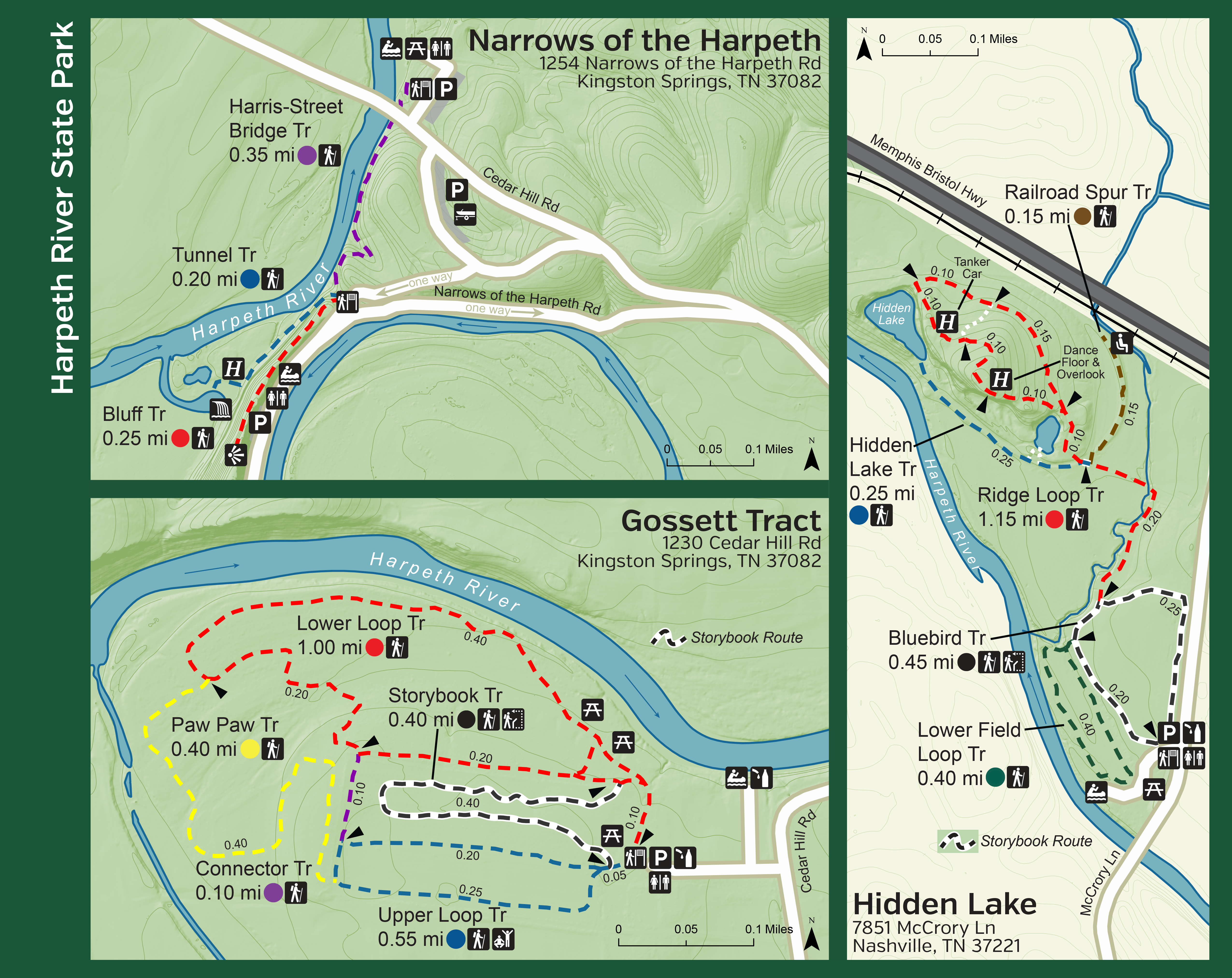
Narrows of the Harpeth
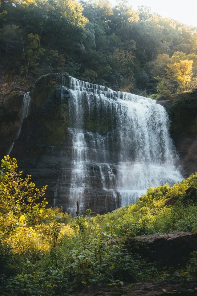
The Narrows of the Harpeth is home to three unique trails, totaling 0.8 miles, that all begin from a common trailhead. The Bluff Trail takes you high atop the limestone ridge to Table Top Rock and a river overlook, one of the most photographed locations in the park. The Tunnel Trail brings you to an 1800’s iron forge site and the famous Montgomery Bell Tunnel, while the Harris-Street Bridge Trail stretches just over a quarter mile, linking the Harris-Street Canoe take-out to the Narrows Canoe Access.
Trails
Skip to trail navigationGossett Tract
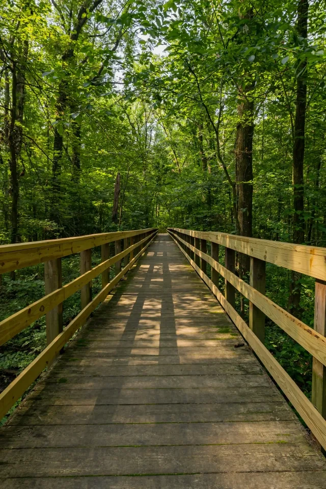
The Gossett Tract offers 2.45 miles of easy, low-impact trails perfect for family adventures and easy hiking. The Upper Loop and the Lower Loop trails loop around wildflower meadows, while the Story Book Trail, Paw Paw Trail, and Connector Trail all cut through the cedar and hardwood forests that make up a large portion of this site. All of the trails on this site make loops either by themselves or in connection to other trails, providing the opportunity for you to customize your hiking experience with each visit.
Upper Loop Trail
fitness trail with a length of 0.55 miles.
Lower Loop Trail
one-mile trail that winds along the river, providing a glimpse of the Mound Bottom Archaeological Site. This trail is one of only two ways to get the the Paw Paw Trail.
Paw Paw Trail
Just under half a mile long, located with the Upper and Lower Loop Trails, and features views of wildflowers.
Storybook Trail
Trail begins at the parking area and joins the last 0.10 mile of the Lower Loop Trail before returning to the parking lot.
Connector Trail
Take the short 0.10-mile Connector Trail to return across the Lower Loop Trail and enjoy a lunch at the picnic areas, or tack on extra trail length by creating a loop on the Paw Paw Trail.
Hidden Lake
Just off I-40, Hidden Lake offers five trails totaling 2.4 mi that loop through wildflower meadows, meander through beautiful hardwood forests, and ascend to the top of a scenic ridgeline. These trails are as full of history as they are of wildlife, as this area was the home of a 1930’s resort. The evidence of the resort is scattered across the trails; exposed bricks from buildings and paths, a half-buried train car, and a terrazzo dance floor all still remain and lead you to the Hidden Lake, the namesake of this site.
Bluebird Trail
One of the storybook routes that can be enjoyed at the park. This loop begins at the parking lot and trailhead and allows hikers to explore all the trails below.
Ridge Loop Trail
Encompasses much of the Hidden Lake area in Harpeth River State Park, featuring limestone bluffs, historic landmarks, and plenty of birding opportunities.
Hidden Lake Trail
A quarter-mile offshoot of the Ridge Loop Trail, which runs along the park's majestic bluffs to its namesake, Hidden Lake.
Railroad Spur Trail
Another offshoot of the Ridge Loop Trail. This trail travels towards the railroad, where the remains of an old marble dance floor are the only pieces left of a 1940s resort that once stood there.
Lower Field Loop Trail
Just under half a mile long and follows the Harpeth River. It starts at the bottom of the bluffs.


