North Chickamauga Creek Gorge Camping
Warning Alert
Closures Due To Improvement Project
Important alert for all visitors:
Beginning March 23, 2026 and lasting for approximately one year, improvements will be made to create a safer, more accessible experience for visitors. This includes paving the parking area, improving the park entrance, adding an ADA-accessible river viewing pier, and installing a restroom.
During this time, the following areas will be closed and inaccessible:
- Montlake Road Entrance and the Main Trailhead
- Blue Hole Trail & Blue Hole Access
- Hogskin Loop Trail
- Stripmine Falls
- Cumberland Trail from the Main Trailhead to Boston Branch Overlook
Learn more and view the map of the closed area on our safety information page.
Know Before You Go
The park often experiences high visitation. Please do not park on roadsides or in non-designated areas. If the park is full, please consider visiting another state park in the area.
Access to all areas along the creek may close due to inclement weather and/or rising waters. A four-point, color-coded rating system is used to determine the closing of creek access areas. Rangers and staff may close areas with little to no notice to park visitors. Learn more on our safety information page.
Montlake Trailhead and Parking Lot Closed
While the Montlake trailhead parking lot is under construction, please use the Barker Pounds Trailhead to access backcountry sites.
Backcountry campers should plan to arrive at their campsites before dark.
Camping at North Chickamauga Creek Gorge
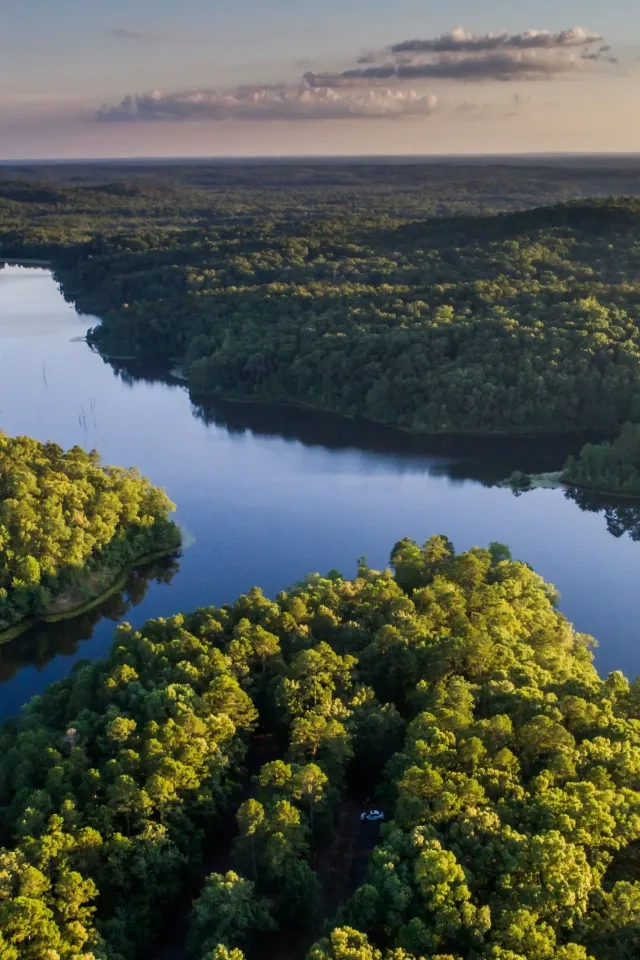
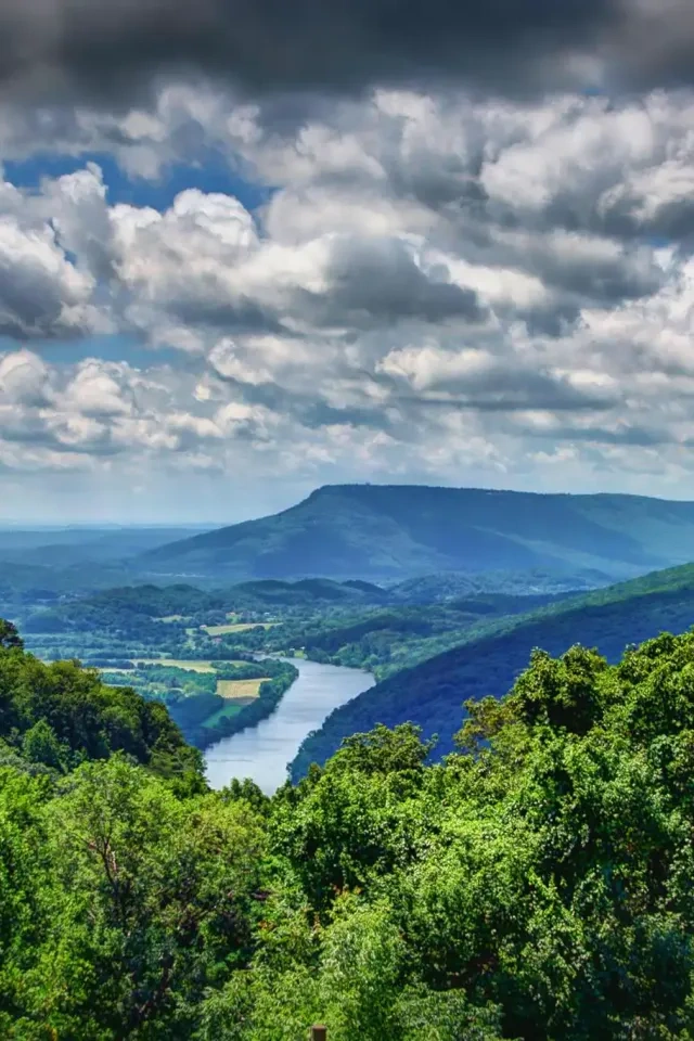
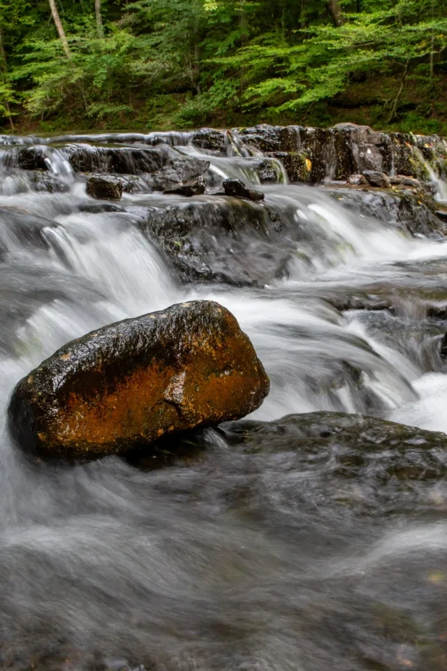
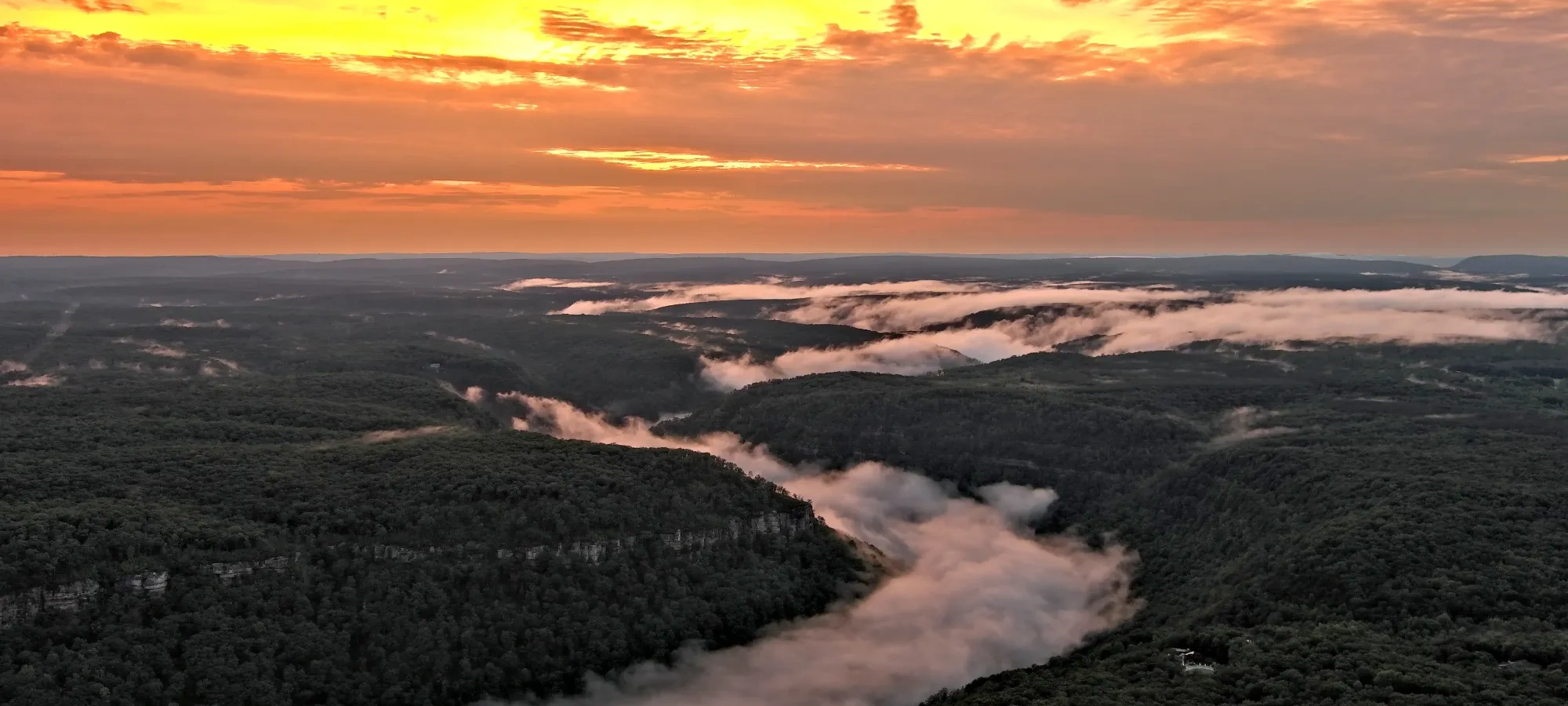
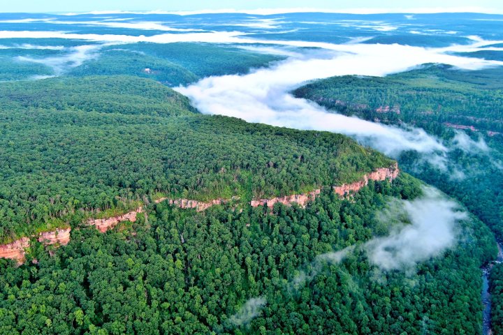
North Chickamauga Creek Gorge State Park is located on the eastern edge of the Cumberland Plateau lass than 20 miles from Chattanooga and protects a rugged, ten-mile gorge carved into Walden’s Ridge. The park offers a remote, wilderness setting defined by steep slopes, sandstone bluffs, waterfalls, and a designated Tennessee State Scenic River.
The park offers access to four backcountry sites located along the Cumberland Trail. These hike-in campsites provide a rugged overnight experience for visitors prepared for self-sufficient camping.


Stevenson Branch Campground
Distance to campsite: 4.75 miles
Water: Water is accessible at Cooper Creek, Stevenson Branch, and North Chickamauga Creek. Campers will need to bring in water or boil/filter water from the nearby creek.
Visitors can hike in from the Barker Pounds Trailhead to the Stevenson Branch 1 and 2 Campsites. Stevenson Branch Campsite 1 is slightly larger than Stevenson Branch Campsite 2. Both campsites are close to Stevenson Branch waterfall.
On-site, there is one fire ring and sufficient space for 2-3 tents.


Cooper Creek Campground
Distance to campsite: 4.75 miles
Water: Water is accessible at Cooper Creek and North Chickamauga Creek. Campers will need to bring in water or boil/filter water from the nearby creek.
Cooper Creek Campsite is known to have interesting rock formations nearby. The campsite is located by Cooper Creek and is the closest to the Barker Pounds Trailhead, where visitors will hike in from. On-site, there is one fire ring and sufficient space for 2-3 tents.


North Chickamauga Campground
Distance to campsite: 5.25 miles
Water: Water is accessible at the North Chickamauga Creek. Campers will need to bring in water or boil/filter water from the nearby creek.
Visitors will hike from the Barker Pounds Trailhead to the North Chickamauga Campsite. The North Chickamauga Campsite rests near North Chickamauga Creek.
On-site, there is one fire ring and sufficient space for 2-3 tents.


Cable Crossing Campground
Distance to campsite: 5.75 miles
Water: This is the only campsite that does not have water access. Campers will need to bring in water.
The Cable Crossing is a point where you can expect to lose all cell service until you return to a higher elevation in the gorge. Visitors can hike to the Cable Crossing Campsite from the Barker Pounds Trailhead.
On-site, there is one fire ring and sufficient space for 2-3 tents.
Details You Should Know
Firewood Policy
Tennessee State Parks asks that ALL campfires be made with heat-treated wood or downed wood collected inside the park, near the campsite. Please refrain from bringing untreated wood into the park.
Discover More at North Chickamauga Creek Gorge


Explore the Park
Inspiration
-
Tennessee State Parks To Discuss Site Management Plans, Receive Public Feedback for 14 State Parks
Tennessee State Parks To Discuss Site Management Plans, Receive Public Feedback for 14 State Parks - Read ArticleOctober 31, 2025 | NASHVILLE – Tennessee State Parks will hold public meetings across the state in the coming weeks to discuss site management plans specific to 14 parks. -
Improvement Projects To Result in Temporary Changes at North Chickamauga Creek Gorge State Park
Improvement Projects To Result in Temporary Changes at North Chickamauga Creek Gorge State Park - Read ArticleStarting in early 2026, North Chickamauga Creek Gorge State Park will undergo a major improvement project to enhance visitor access and amenities. While construction is underway, the main parking area will be closed, and access to the Blue Hole will be temporarily unavailable for approximately one year.