T.O. Fuller Hiking

Notification Alert
Notification

Detour required for Park Access

T.O. Fuller State Park

Due to I-55 construction/exit ramp bridge demolition, exit #7 (Third Street/Hwy 61) will be closed. Traffic congestion is expected, so park visitors are encouraged to use Exit #8 (New Horn Lake Road) for Mitchell Road access and exit #9 (Mallory Avenue) for Plant Road access to T.O. Fuller State Park from I-55.

  • View of pond, flower, and trees at T O Fuller
  • Concrete path that goes along a grass field at T O Fuller

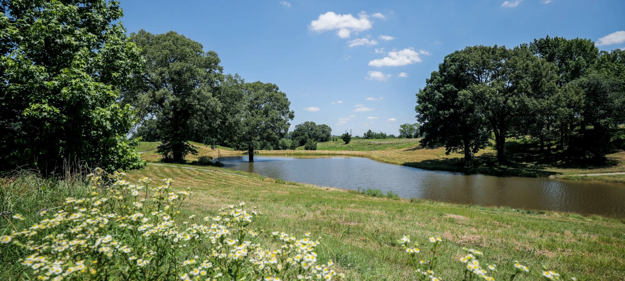
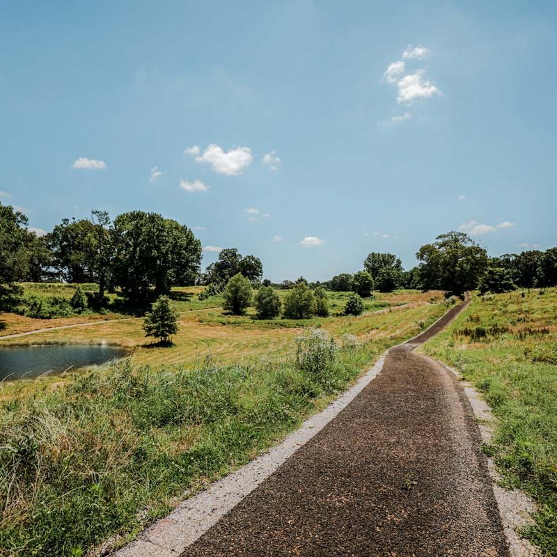
    Hiking at T.O. Fuller  

    The Park has over eight miles of hiking trails ranging from easy to moderate.  

    Trails

    Showing page 1 of 1
    • Accessible Trail

      T.O. Fuller State Park
      Distance
      0.50 mi.
      Difficulty
      Difficult
      Surface
      Paved
      ADA Accessible.
      Availability
      Open
      Allowed
      Biking Hiking wheelchair

      Accessible Trail

      T.O. Fuller State Park
      ADA Accessible.
      Distance
      0.50 mi.
      Difficulty
      Difficult
      Surface
      Paved
      Allowed
      Biking Hiking wheelchair

      Trail Type
      Information unavailable

      Elevation
      Gain 25.70'
      Loss 37.80'
      Grade
      Typical 2.4%
      Max 12.5%
      Cross Slope
      Typical 2.5%
      Max 8.4%
      Tread Width
      Typical 74"
      Minimum 48"
      Surface Type
      Rubber 100%
      Obstructions Exist
      Grass: 12 in tall; Grass: 12 in tall

      Discovery Trail

      T.O. Fuller State Park
      Distance
      0.45 mi.
      Difficulty
      Surface
      Natural
      Availability
      Open
      Allowed
      Hiking

      Initiation Loop

      T.O. Fuller State Park
      Distance
      1.95 mi.
      Difficulty
      Difficult
      Surface
      Natural
      Suitable for walking, running, and BMX biking. Primarily a training trail for runners due to the varied elevations.
      Availability
      Open
      Allowed
      Hiking

      Storybook Trail

      T.O. Fuller State Park
      Distance
      0.44 mi.
      Difficulty
      Easy
      Surface
      Paved
      Paved 0.44 mi loop, ADA Accessible.
      Availability
      Open
      Allowed
      Biking Hiking storybook wheelchair

      Tires to Trails

      T.O. Fuller State Park
      Distance
      2.40 mi.
      Difficulty
      Difficult
      Surface
      Paved
      The trail starts behind the Shelby-Bluff Center. It is a hard-surface walking and biking trail made from rubber crumbs derived from tires.
      Availability
      Open
      Allowed
      Biking Hiking wheelchair

      Tires to Trails

      T.O. Fuller State Park
      The trail starts behind the Shelby-Bluff Center. It is a hard-surface walking and biking trail made from rubber crumbs derived from tires.
      Distance
      2.40 mi.
      Difficulty
      Difficult
      Surface
      Paved
      Allowed
      Biking Hiking wheelchair

      Trail Type
      Information unavailable

      Elevation
      Gain 267.00'
      Loss 335.70'
      Grade
      Typical 4.6%
      Max 20.0%
      Cross Slope
      Typical 3.0%
      Max 12.8%
      Tread Width
      Typical 71"
      Minimum 48"
      Surface Type
      Rubber 100%
      Obstructions Exist
      Grass: 12 in tall; Grass: 12 in tall; Grass: 12 in tall

    Trail Definitions

    • Cross Slope 

      Describes the degree of incline from one side of the trail path to the other; measured as a percentage. Cross slope aids in water drainage and impacts the overall trail stability.   

    • Grade  

      Describes the rise in elevation over a horizontal distance on the trail; measured as a percentage.  Higher percentages represent a steeper grade indicating a more challenging ascent or descent for hikers.    

    • Standard Ramp Grade

      Serves as a reference guide for the grade of the trail.  Standard Ramp Grade is 8.3% across all trail assessments.  

    • Surface 

      A characteristic of the trail expressed in terms of material type, grading, compaction, and roughness of the path. Possible surface types include soil, gravel, paved, and mulch.   

    • Tread Width    

      Represents the horizontal distance from one edge of the trail path to the other; measurements can vary.  Tread width helps to determine the amount of space a hiker has to pass through. Obstacles on the trail can alter the remaining tread width.   

    • Trail Types: Loop

      Trail returns at or near the point from which you started. 

    • Trail Types: Network 

      Offers multiple route options within one trail, and each route is connected

    • Trail Types: Out and Back

      This type of trail travels out to an endpoint where hikers turn around and travel back to the starting point.   

    • Trail Types: Stacked Loop

      A loop trail contained completely within another trail.   

    Need a Map?

    Explore our collection of printable and digital trail maps, organized by park. Whether you’re hiking, camping, or paddling, you’ll find the resources you need to navigate confidently.


    Visitor Center Gift Shop

    The T.O. Fuller Visitor Center Gift Shop is the perfect place to pick up a map, learn about the park, or find a souvenir. You’ll find an assortment of apparel and keepsakes to remember your trip to the park.

    Address:
    1500 West Mitchell Road, Memphis TN, 38109

    Hours
    Monday - Friday
    8:15 AM - 4:15 PM

    Skip photo gallery
    Media Crowdriff
    Happenings

    No events are scheduled at this time, but there's always more to explore.

    Find More Events

    Other Activities at T.O. Fuller State Park