Natchez Trace Hiking

Warning Alert
Warning

Lodge and Restaurant Closed for Rebuild

Natchez Trace State Park

The Lodge at Natchez Trace (the Pin Oak Lodge) and Restaurant are currently undergoing a rebuild, with an anticipated reopening in spring 2028. 

During construction, the pool will be unavailable. Guests are welcome at our cabins, which remain open during construction, and a food truck at the Camp Store serves hot food.

Learn more about the new Lodge at Natchez Trace here.

Notification

Horse Stall Reservations

Natchez Trace State Park

Horse stall reservations must be made through the Visitor Center at Natchez Trace at 731-968-3742.

  • Third view of the lake showing a sandy shoreline.
  • Narrow dirt path winding through a dense, green forest.

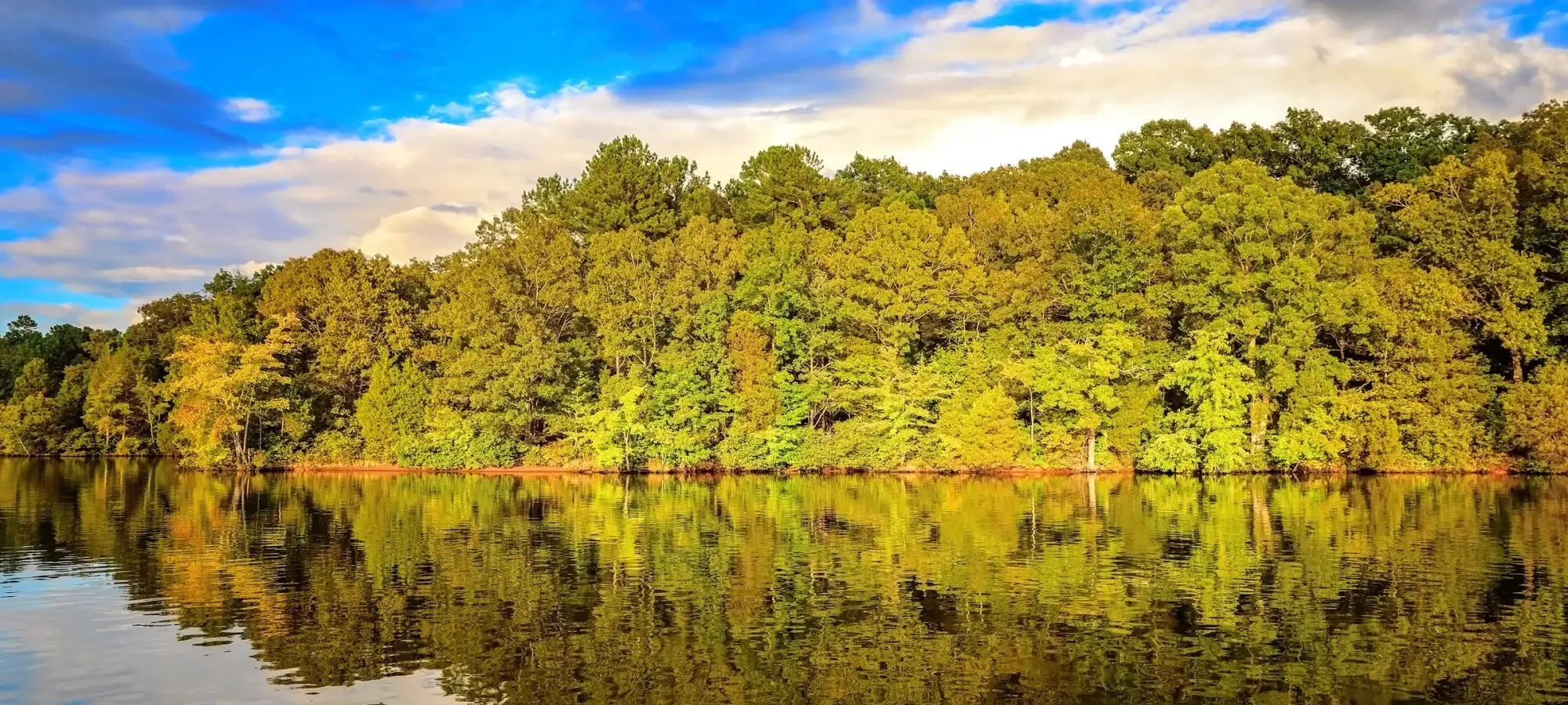
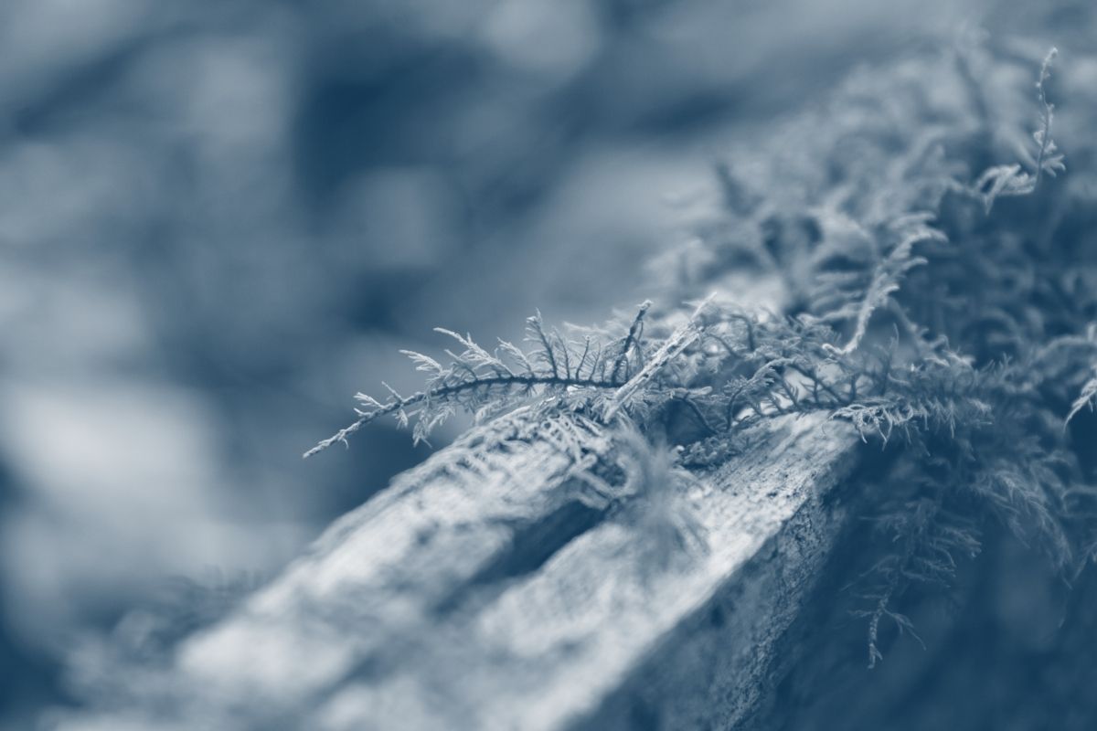
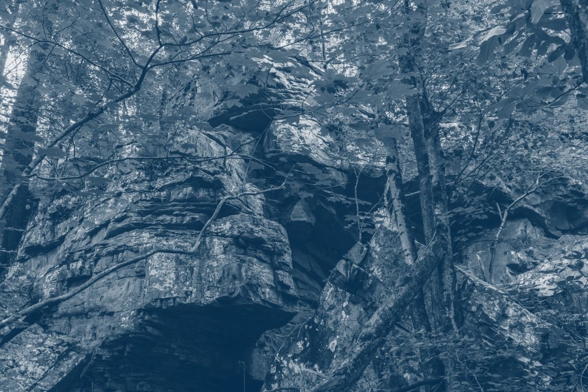
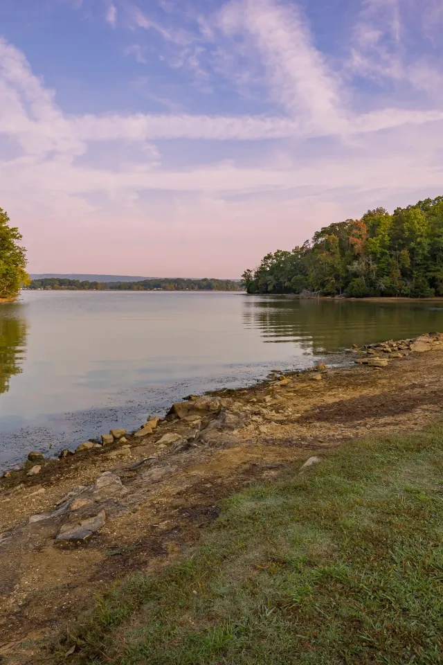
    Hiking at Natchez Trace

    The hiking trails at Natchez Trace State Park range from easy half-mile hikes to strenuous overnight adventures.

    Trails

    Showing page 1 of 3
    • Barn Trail

      Natchez Trace State Park
      Distance
      1.40 mi.
      Difficulty
      Surface
      Natural
      Availability
      Open
      Allowed
      Horseback Riding

      Beaver Trail

      Natchez Trace State Park
      Distance
      1.40 mi.
      Difficulty
      Surface
      Natural
      Availability
      Open
      Allowed
      Horseback Riding

      Blue Trail

      Natchez Trace State Park
      Distance
      0.45 mi.
      Difficulty
      Surface
      Natural
      Availability
      Open
      Allowed
      Horseback Riding

      Bucksnort Trail

      Natchez Trace State Park
      Distance
      2.95 mi.
      Difficulty
      Surface
      Natural
      Availability
      Open
      Allowed
      Horseback Riding

      Cabin Trail

      Natchez Trace State Park
      Distance
      1.05 mi.
      Difficulty
      Surface
      Natural
      Availability
      Open
      Allowed
      Horseback Riding

      Clem Trail

      Natchez Trace State Park
      Distance
      1.00 mi.
      Difficulty
      Surface
      Natural
      Availability
      Open
      Allowed
      Horseback Riding

      Cub Lake Trail

      Natchez Trace State Park
      Distance
      Difficulty
      Surface
      Natural
      Availability
      Open
      Allowed
      Hiking

      Fairview Gullies Trail

      Natchez Trace State Park
      Distance
      1.00 mi.
      Difficulty
      Moderate
      Surface
      Natural
      This short loop trail takes you through pine forest, mixed pine-hardwood forest, and hardwood forest. It is a good location to hear singing pine warblers in spring.
      Availability
      Open
      Allowed
      Hiking

      Fern Trail

      Natchez Trace State Park
      Distance
      0.45 mi.
      Difficulty
      Difficult
      Surface
      Natural
      Availability
      Open
      Allowed
      Hiking

      Fern Trail

      Natchez Trace State Park
      Distance
      0.45 mi.
      Difficulty
      Difficult
      Surface
      Natural
      Allowed
      Hiking

      Trail Type
      Information unavailable

      Elevation
      Gain 77.70'
      Loss 83.40'
      Grade
      Typical 7.0%
      Max 21.4%
      Cross Slope
      Typical 6.9%
      Max 28.7%
      Tread Width
      Typical 37"
      Minimum 24"
      Surface Type
      Soil 100%
      Obstructions Exist
      Rock steps: 6 in tall; Tree: 24 in of tread remaining; Step: 4 in tall
    • Forest Trail

      Natchez Trace State Park
      Distance
      1.25 mi.
      Difficulty
      Surface
      Natural
      Availability
      Open
      Allowed
      Horseback Riding

      Herff Trail

      Natchez Trace State Park
      Distance
      0.30 mi.
      Difficulty
      Surface
      Natural
      Availability
      Open
      Allowed
      Horseback Riding

      Lovell Trail

      Natchez Trace State Park
      Distance
      0.50 mi.
      Difficulty
      Surface
      Natural
      Availability
      Open
      Allowed
      Horseback Riding

      Melton Trail

      Natchez Trace State Park
      Distance
      2.10 mi.
      Difficulty
      Surface
      Natural
      Availability
      Open
      Allowed
      Horseback Riding

      Molehole Trail

      Natchez Trace State Park
      Distance
      0.80 mi.
      Difficulty
      Surface
      Natural
      Availability
      Open
      Allowed
      Horseback Riding

      Mustang Trail

      Natchez Trace State Park
      Distance
      0.95 mi.
      Difficulty
      Surface
      Natural
      Availability
      Open
      Allowed
      Horseback Riding

      Oak Ridge Trail

      Natchez Trace State Park
      Distance
      0.80 mi.
      Difficulty
      Difficult
      Surface
      Natural
      Availability
      Open
      Allowed
      Hiking

      Oak Ridge Trail

      Natchez Trace State Park
      Distance
      0.80 mi.
      Difficulty
      Difficult
      Surface
      Natural
      Allowed
      Hiking

      Trail Type
      Information unavailable

      Elevation
      Gain 98.80'
      Loss 104.10'
      Grade
      Typical 5.9%
      Max 21.7%
      Cross Slope
      Typical 5.0%
      Max 22.3%
      Tread Width
      Typical 31"
      Minimum 18"
      Surface Type
      Soil 78.7%; Asphalt 20.5%; Wood decking 0.8%
      Obstructions Exist
      Step: 10 in tall; Tree: 24 in of tread remaining; Tree root: 6 in tall

      Oxford Trail

      Natchez Trace State Park
      Distance
      2.90 mi.
      Difficulty
      Surface
      Natural
      Availability
      Open
      Allowed
      Horseback Riding

      Pin Oak Trail

      Natchez Trace State Park
      Distance
      1.05 mi.
      Difficulty
      Moderate
      Surface
      Natural
      Availability
      Open
      Allowed
      Hiking
    • Red Leaves Trail

      Natchez Trace State Park
      Distance
      24.30 mi.
      Difficulty
      Difficult
      Surface
      Natural
      There are numerous access points to this 23-mile trail. The park office is a good place to start since trail maps and other park information are available here. Also, the park office has a feeder station. This section of the trail winds through forested uplands. The overnight camping along Red Leaves is only permitted in the designated area with a reservation. A portion of the Red Leaves Trail between Parsons Road and Sulfur Fork is temporarily closed due to storm damage.
      Availability
      Open
      Allowed
      Hiking

      Shiloh Trail

      Natchez Trace State Park
      Distance
      1.00 mi.
      Difficulty
      Surface
      Natural
      Availability
      Open
      Allowed
      Horseback Riding

      Stable Trail

      Natchez Trace State Park
      Distance
      0.80 mi.
      Difficulty
      Surface
      Natural
      Availability
      Open
      Allowed
      Horseback Riding

      Taylor Trail

      Natchez Trace State Park
      Distance
      0.90 mi.
      Difficulty
      Surface
      Natural
      Availability
      Open
      Allowed
      Horseback Riding

      VC Trail

      Natchez Trace State Park
      Distance
      0.65 mi.
      Difficulty
      Surface
      Natural
      Availability
      Open
      Allowed
      Hiking

      Waugh Trail

      Natchez Trace State Park
      Distance
      0.60 mi.
      Difficulty
      Surface
      Natural
      Availability
      Open
      Allowed
      Horseback Riding

    Trail Definitions

    • Cross Slope 

      Describes the degree of incline from one side of the trail path to the other; measured as a percentage. Cross slope aids in water drainage and impacts the overall trail stability.   

    • Grade  

      Describes the rise in elevation over a horizontal distance on the trail; measured as a percentage.  Higher percentages represent a steeper grade indicating a more challenging ascent or descent for hikers.    

    • Standard Ramp Grade

      Serves as a reference guide for the grade of the trail.  Standard Ramp Grade is 8.3% across all trail assessments.  

    • Surface 

      A characteristic of the trail expressed in terms of material type, grading, compaction, and roughness of the path. Possible surface types include soil, gravel, paved, and mulch.   

    • Tread Width    

      Represents the horizontal distance from one edge of the trail path to the other; measurements can vary.  Tread width helps to determine the amount of space a hiker has to pass through. Obstacles on the trail can alter the remaining tread width.   

    • Trail Types: Loop

      Trail returns at or near the point from which you started. 

    • Trail Types: Network 

      Offers multiple route options within one trail, and each route is connected

    • Trail Types: Out and Back

      This type of trail travels out to an endpoint where hikers turn around and travel back to the starting point.   

    • Trail Types: Stacked Loop

      A loop trail contained completely within another trail.   

    Need a Map?

    Explore our collection of printable and digital trail maps, organized by park. Whether you’re hiking, camping, or paddling, you’ll find the resources you need to navigate confidently.


    Visitor Center Gift Shop

    The Visitor Center Gift Shop is the perfect place to pick up a map, learn about the park, or find a souvenir. You’ll find an assortment of apparel and keepsakes to remember your trip to the park. 

    Address:
    24845 Natchez Trace Road, Wildersville TN, 38388
    1-731-968-3742

    Hours
    Monday - Friday 
    8:00 AM - 4:30 PM 

    Saturday - Sunday 
    Open seasonally 

    Happenings

    No events are scheduled at this time, but there's always more to explore.

    Find More Events