
Ocoee River Hiking

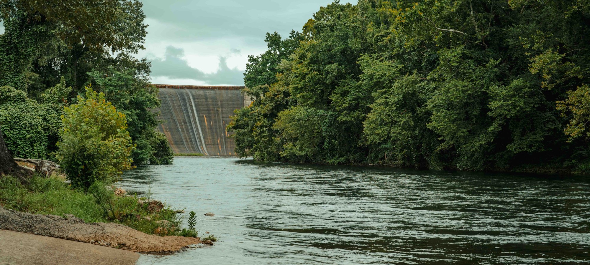
  • view of water flowing down a river surrounded by trees with a dam in the distance
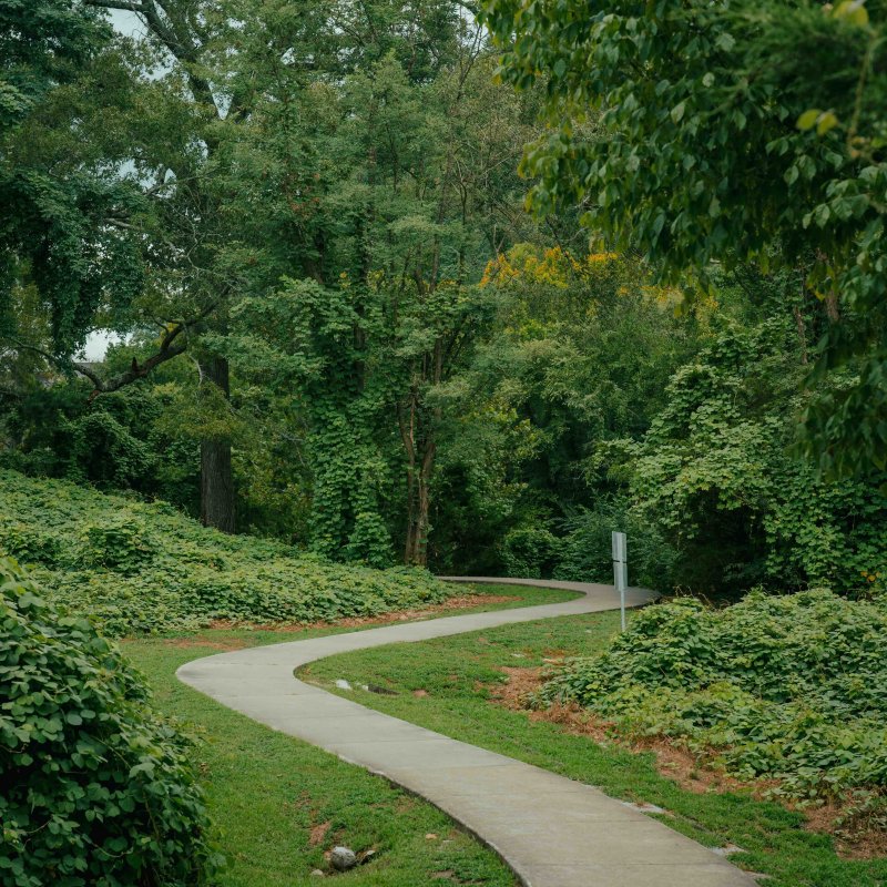
  • Winding path through a lush green park with dense trees.

    Hiking at Ocoee River

    Sugarloaf Mountain Day Use Area

    Ocoee River State Park features a short, paved, ADA-accessible trail along the river for visitors. This serene trail offers a spectacular view of Dam #1 and the Lower Ocoee.

    With a put-in for the Lower Ocoee, a playground, and picnic tables, Sugarloaf Mountain Day Use Area is a fantastic place for families to enjoy. 

    Trails

    Showing page 1 of 1
    • Goforth Creek Trail

      Ocoee River State Park
      Distance
      3.70 mi.
      Difficulty
      Moderate
      Surface
      Natural
      This 3.7-mile one-way trail is a secluded trail home to waterfalls and swimming holes.
      Availability
      Open
      Use
      Hiking

      Old Copper Road Trail

      Ocoee River State Park
      Distance
      4.70 mi.
      Difficulty
      Moderate
      Surface
      Natural
      Accessible from the Ocoee Whitewater Center, this 4.7-mile one-way trail will give you great views of the Ocoee Dams #1 & #2 and the Ocoee Flume line.
      Availability
      Open
      Use
      Hiking Mountain Biking

      Rhododendron Trail

      Ocoee River State Park
      Distance
      3.30 mi.
      Difficulty
      Moderate
      Surface
      Natural
      This 3.3-mile one-way trail is great for visitors looking to view the lush forest and small waterfalls.
      Availability
      Open
      Use
      Hiking

    Ocoee River State Park is surrounded by the Cherokee National Forest, home to over 700 miles of hiking trails.

    Nearby Trails

    There are many popular hiking trails in the nearby Cherokee National Forest.

    Old Copper Trail: Accessible from the Ocoee Whitewater Center, this 4.7-mile one-way trail will give you great views of the Ocoee Dams #1 & #2 and the Ocoee Flume line. Learn more here.

    Rhododendron Trail: This 3.3-mile one-way trail provides an excellent view of the lush forest and small waterfalls. Learn more here.

    Goforth Creek Trail: This 3.7-mile one-way trail is a secluded trail home to waterfalls and swimming holes. Learn more here.

    Trail Definitions

    • Cross Slope 

      Describes the degree of incline from one side of the trail path to the other; measured as a percentage. Cross slope aids in water drainage and impacts the overall trail stability.   

    • Grade  

      Describes the rise in elevation over a horizontal distance on the trail; measured as a percentage.  Higher percentages represent a steeper grade indicating a more challenging ascent or descent for hikers.    

    • Standard Ramp Grade

      Serves as a reference guide for the grade of the trail.  Standard Ramp Grade is 8.3% across all trail assessments.  

    • Surface 

      A characteristic of the trail expressed in terms of material type, grading, compaction, and roughness of the path. Possible surface types include soil, gravel, paved, and mulch.   

    • Tread Width    

      Represents the horizontal distance from one edge of the trail path to the other; measurements can vary.  Tread width helps to determine the amount of space a hiker has to pass through. Obstacles on the trail can alter the remaining tread width.   

    • Trail Types: Loop

      Trail returns at or near the point from which you started. 

    • Trail Types: Network 

      Offers multiple route options within one trail, and each route is connected

    • Trail Types: Out and Back

      This type of trail travels out to an endpoint where hikers turn around and travel back to the starting point.   

    • Trail Types: Stacked Loop

      A loop trail contained completely within another trail.   

    Need a Map?

    Explore our collection of printable and digital trail maps, organized by park. Whether you’re hiking, camping, or paddling, you’ll find the resources you need to navigate confidently.


    Skip photo gallery
    Media Crowdriff
    Happenings

    Other Activities at Ocoee River State Park