Rock Island Hiking
Warning Alert
Safety Closures in Effect at Rock Island State Park
The following alert is important for all Rock Island State Park visitors
TVA Great Falls Dam and/or the TVA Great Falls Powerhouse may release water on an irregular schedule. Water discharge may change day to day or even hour to hour. All river gorge areas downstream of the TVA Dam are closed when the dam is in Active water spill mode or a discharge is likely for the day. Before planning your visit, please check TVA's website for Great Falls Dam and Powerhouse for the most current water discharge schedule. Visitors are encouraged to check the discharge schedule often. Discharge schedules can change rapidly based on lake levels, rainfall forecasts, etc. Water releases may occur with or without warning any time you are near a TVA dam or powerhouse. Visitors should be prepared for a quick exit should they hear warning sirens or notice water rising. Life jackets and hiking shoes are strongly encouraged in this area.
The park has also seen very high visitation over the last year. Please do not park on roadsides or in non-designated areas. If the park is full, please consider visiting another state park in the area.
Please check the park’s Facebook page for updates before your visit.
Know Before You Go
The park often experiences high visitation. Please do not park on roadsides or in non-designated areas. If the park is full, please consider visiting another state park in the area.
Also, please check the status of the Caney Fork River Gorge section of the park before visiting, as access is dependent on approval from TVA based on hourly water release predictions. Gorge closures may occur without notice and can be in place for varying lengths of time. Learn more on our safety information page.
Rock Island Gorge Safety
IMPORTANT SAFETY INFO: Please note that swimming or wading is not permitted downstream of the Powerhouse at any time, regardless of water releases. Check TVA’s website for water release information and dam safety data at: www.tva.gov/Environment/Lake-Levels/Great-Falls.
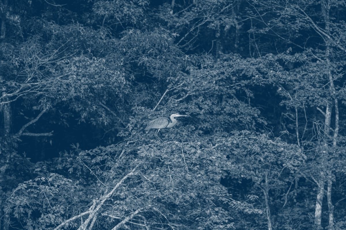
Hiking at Rock Island
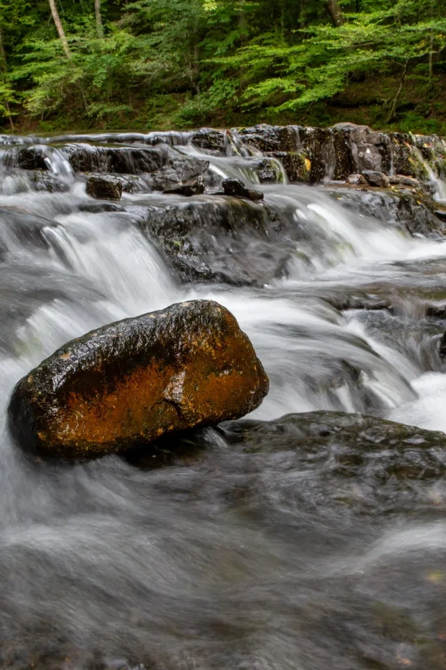
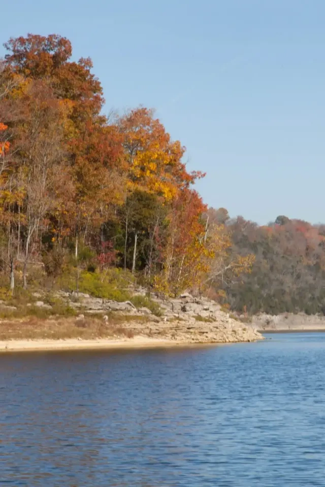
Rock Island State Park has nine hiking trails. The Caney Fork Gorge area located below the dam is a very popular area for rock hopping, swimming, and fishing. This beautiful limestone gorge runs between the Great Falls Dam and the Twin Falls.

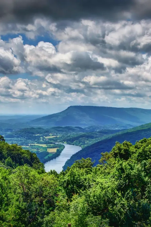
Caney Fork River Gorge
The gorge is defined as the area between Great Falls Dam and the TVA Powerhouse. The gorge encompasses points of interest such as the Great Falls (a 30-foot waterfall) as well as the Cold Hole and the Warm Hole swimming areas. This area can be accessed by the Old Mill Gorge Trail or Upstream Trail. These two trails and parking areas close at sundown between November and March, and at 6:00 PM from March to November.
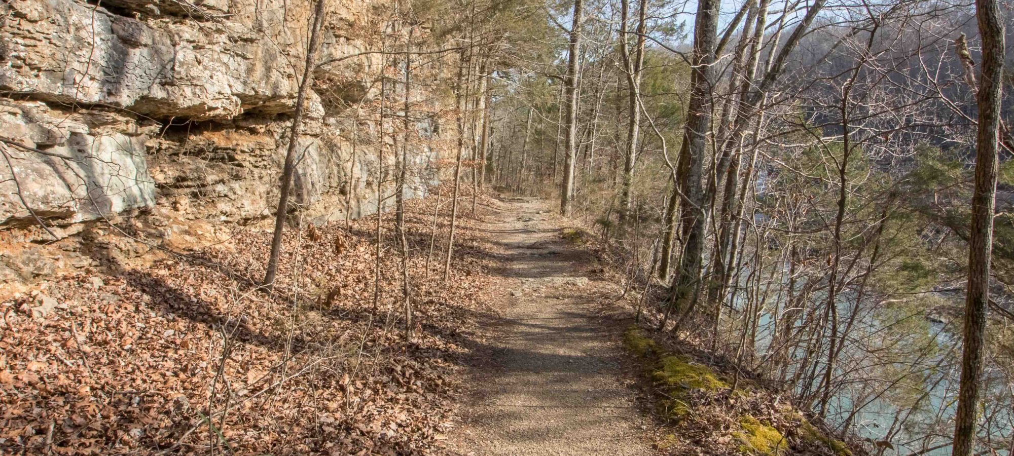
Old Mill Gorge Trail
The Old Mill Gorge Trail departs from the Old Mill picnic area and provides access to the gorge via staircases. The trail into the gorge from the Old Mill is steep, wet, rocky, and may not be suitable for all hikers. From the bottom, hikers can rock hop or swim at their own risk.
Upstream Trail
Visitors attempting to reach Great Falls, the Warm Hole, or the Cold Hole may access the gorge via the Upstream Trail. This trail begins from Twin Falls Overlook. A large parking lot is provided at the end of Powerhouse Road.
The Upstream Trail, while still strenuous, does not require as steep an ascent from the gorge as the Old Mill Gorge Trail and often has available parking when the Old Mill area is full.

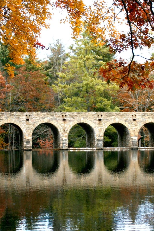
Twin Falls
Visitors wishing to experience Twin Falls should do so from the Twins Fall Overlook located at the end of Powerhouse Road. This area offers parking, benches, kiosk, and an observation area. There is no trail access to Twin Falls. Swimming or wading in the area around, or downstream of Twin Falls is extremely dangerous and not permitted in the park.
Downstream Trail
The Downstream Trail departs from the Twin Falls Overlook and continues along the very steep bluff line bordering the river. It features views of the Blue Hole below, Twin Falls, Little Falls, and various seeps, as well as many spring wildflowers and rock formations.

Blue Hole
For those attempting to reach the Blue Hole, this area may be accessed via the Blue Hole Trail. Alternatively, the Blue Hole may also be viewed from the Downstream Trail. The Blue Hole is a popular fishing and hiking destination, but swimming is also prohibited in this area as it is located downstream of the TVA Powerhouse.